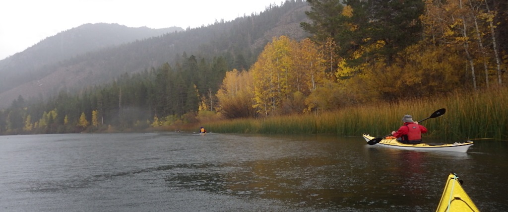
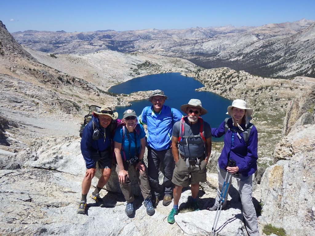
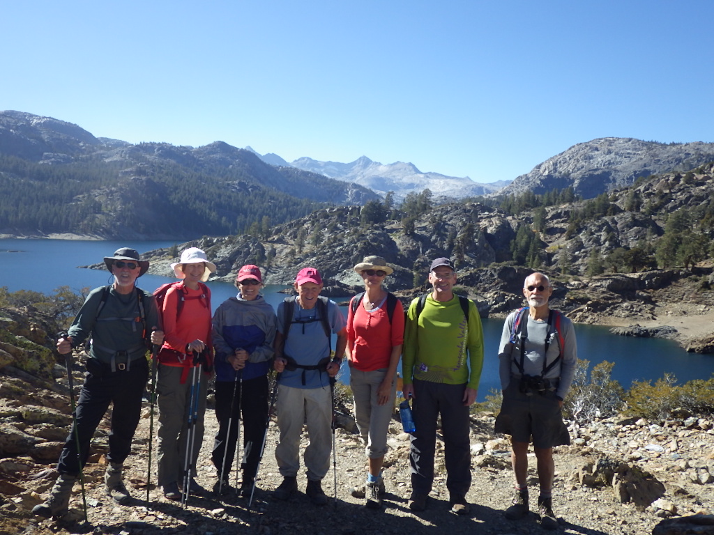
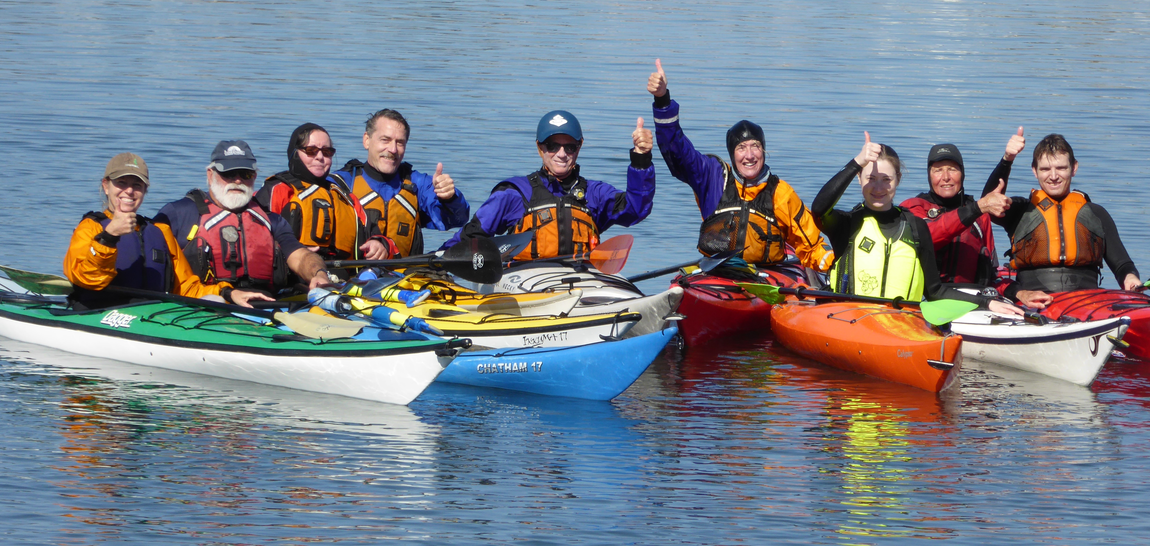
Kayaking affords a special view
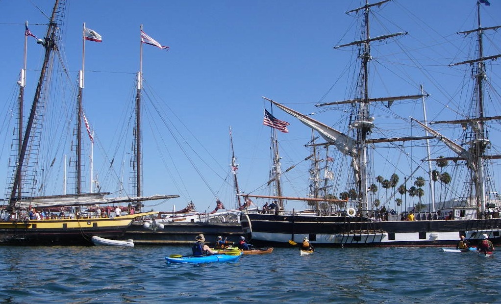
The “Second Annual SDKC Tall Ships Paddle and Picnic” will coincide with the “Tall Ships” event on the “Big Bay” this year. The Liberty Station launch ramp is the ideal place for us to gather, launch our boats, and have a picnic afterwards. There is plenty of parking, and restrooms are close by, just to the south in the park. The “Tall Ships” will be tied up at the embarcadero area of downtown, and there may be “Gun Fights” on the bay in the morning for us to view as we paddle.
Date: Saturday, September 3rd
Launch Time: 9:00 am
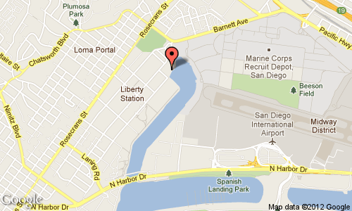
Launch Location: Liberty Station launch ramp (see map below)
Who is Invited: SDKC members, CKF members, Night Herons, Valley-Wide Kayak Club, TRR people, Thursday Night and Meet-Up Paddle Groups, and any guests you want to invite. SOT’s & SUP’s are encouraged to join in on the fun (life jackets must be worn by all paddlers). Youth 15 and older are welcome if they are experienced paddlers and able to paddle 7 miles on flat water. They must paddle with, and close to their parents at all times.
Rentals of Boats & Stand-Up Paddle Boards Available: Aqua Adventures has special “overnight rental rates” for boats, paddle boards, and foam car top carriers. You must pick yours up at AA on Sept 4th. Give them a call to reserve yours at (619) 523-9577.
Picnic Following the Paddle: Around 1 pm…or when we return from the paddle. If you can’t make the paddle, come join us at the picnic!
Duration of the Paddle: We will be on the water for about 3 hours, checking out the Tall Ships and gun battles out on the bay.
SAFETY NOTICE: This is a intermediate-level paddle of at least 7 miles, not intended for beginners (those with little experience). Please read the “Disclaimer” at the end of this announcement.
There will be a lot of power boats, personal watercraft, and sail boats on the bay during this event, so we need to stay close to shore at all times. When we cross the open water between Harbor Island and the B Street Pier, we need to stay in large groups, in order to be more visible to other boaters.
CAUTION: The ramp at our Liberty Station launch site can be very slippery, so be careful when you walk down that concrete ramp.
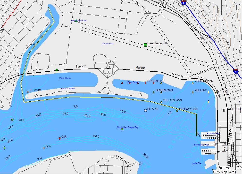
Our Plotted Course is in Yellow
What to Bring: All safety gear (life jackets must be worn by all paddlers), VHF radio, camera, zinc sunscreen for skin and lips, sun glasses, water and snacks for the paddle, hat (a few of our new club hats will be available to purchase for $15), food and drinks for the picnic (everyone brings their own, and no glass bottles please), and a blanket to sit on. There is a grassy area next to the ramp for cleaning off your boat, so bring water for that.
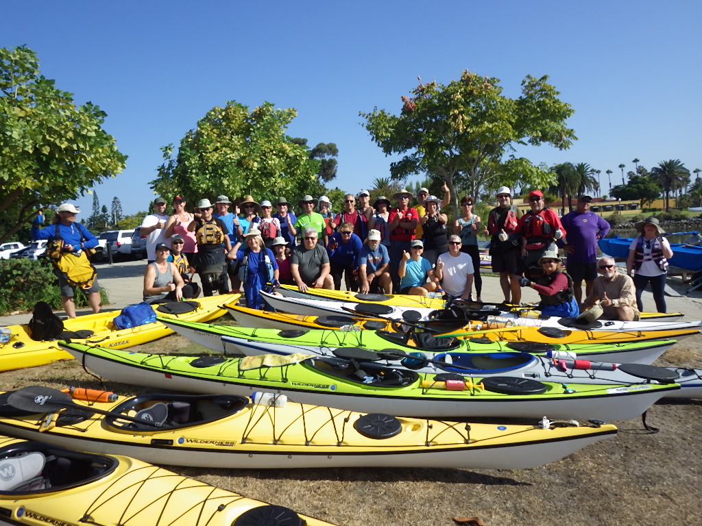
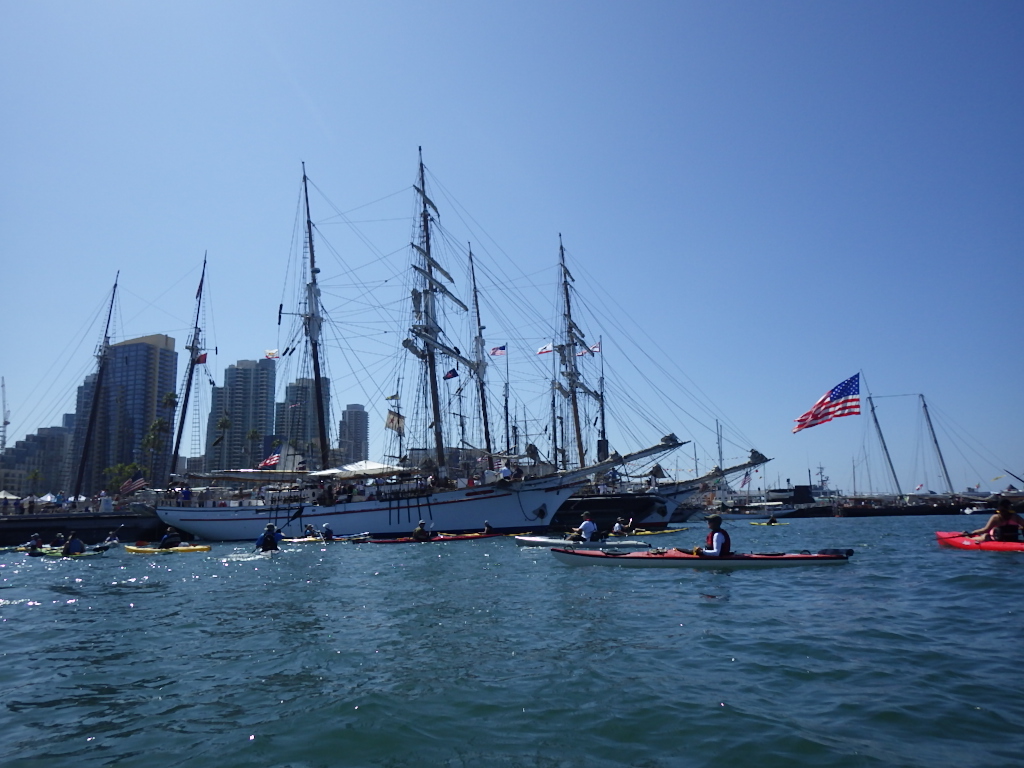
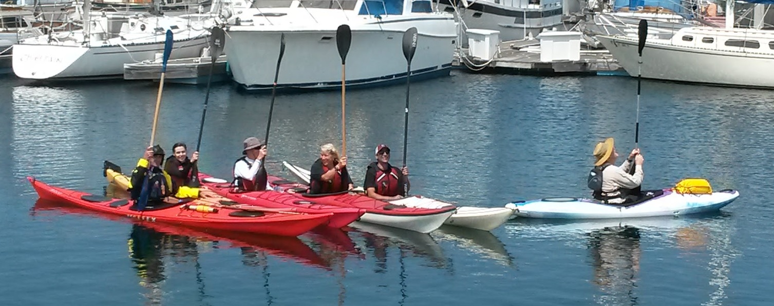
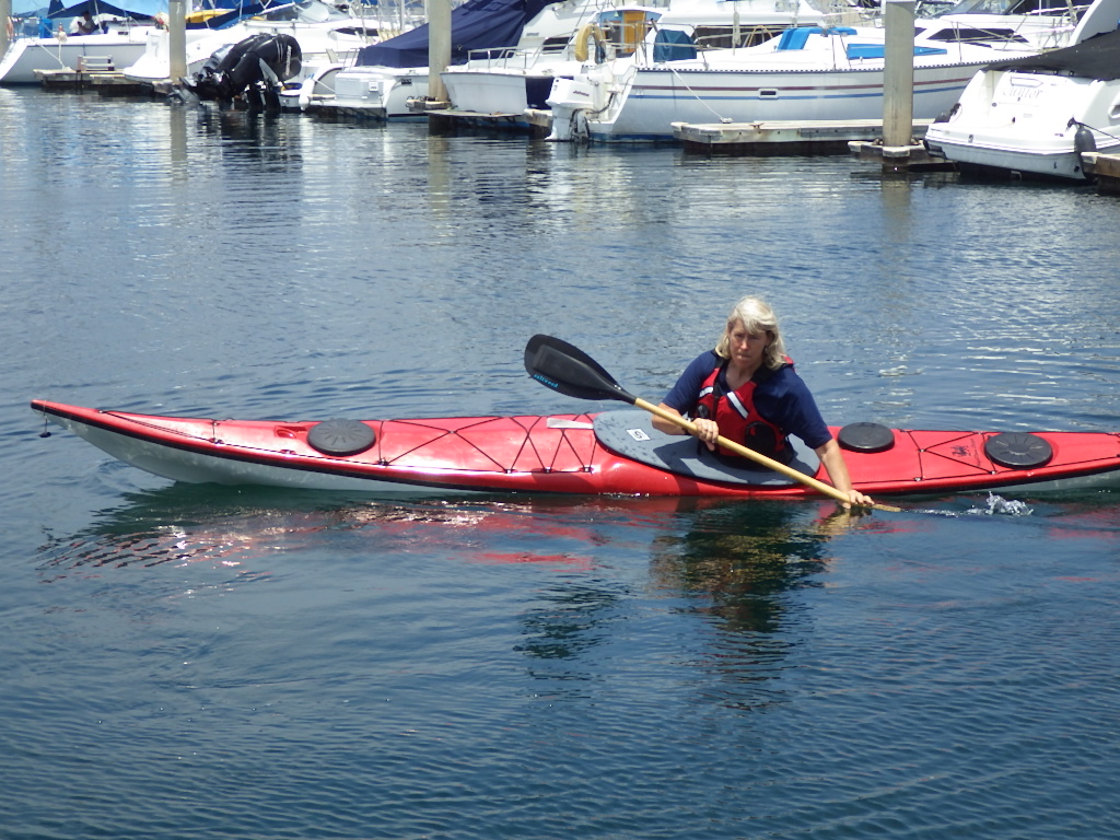
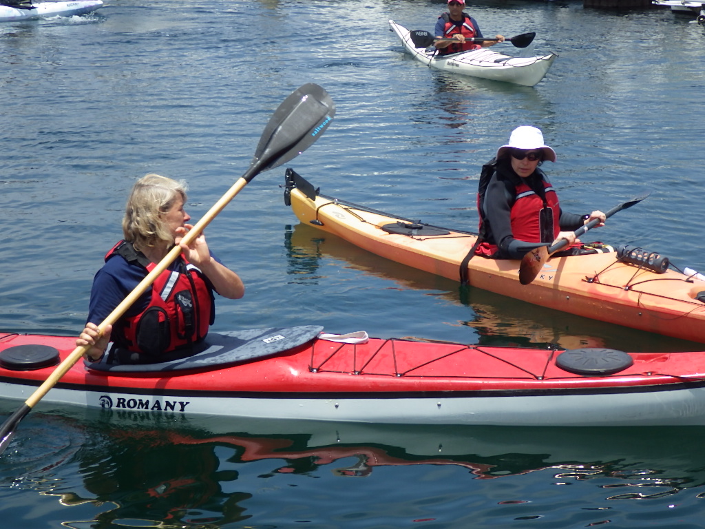
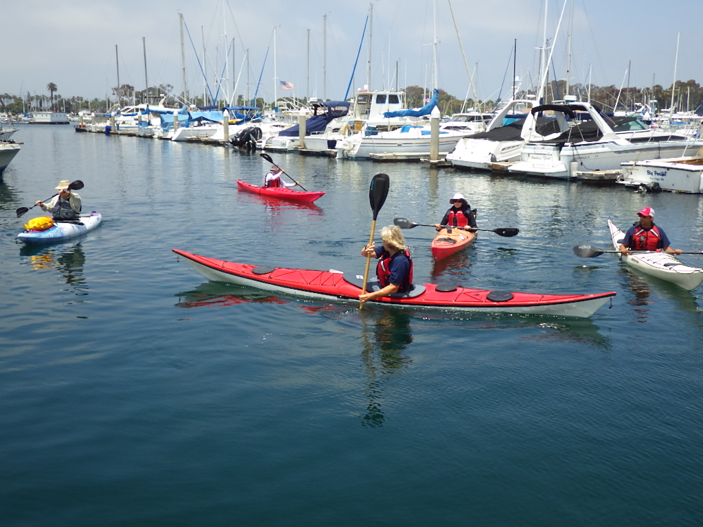
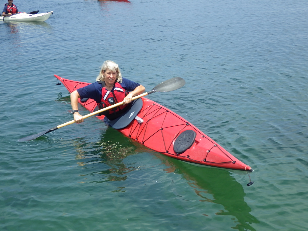
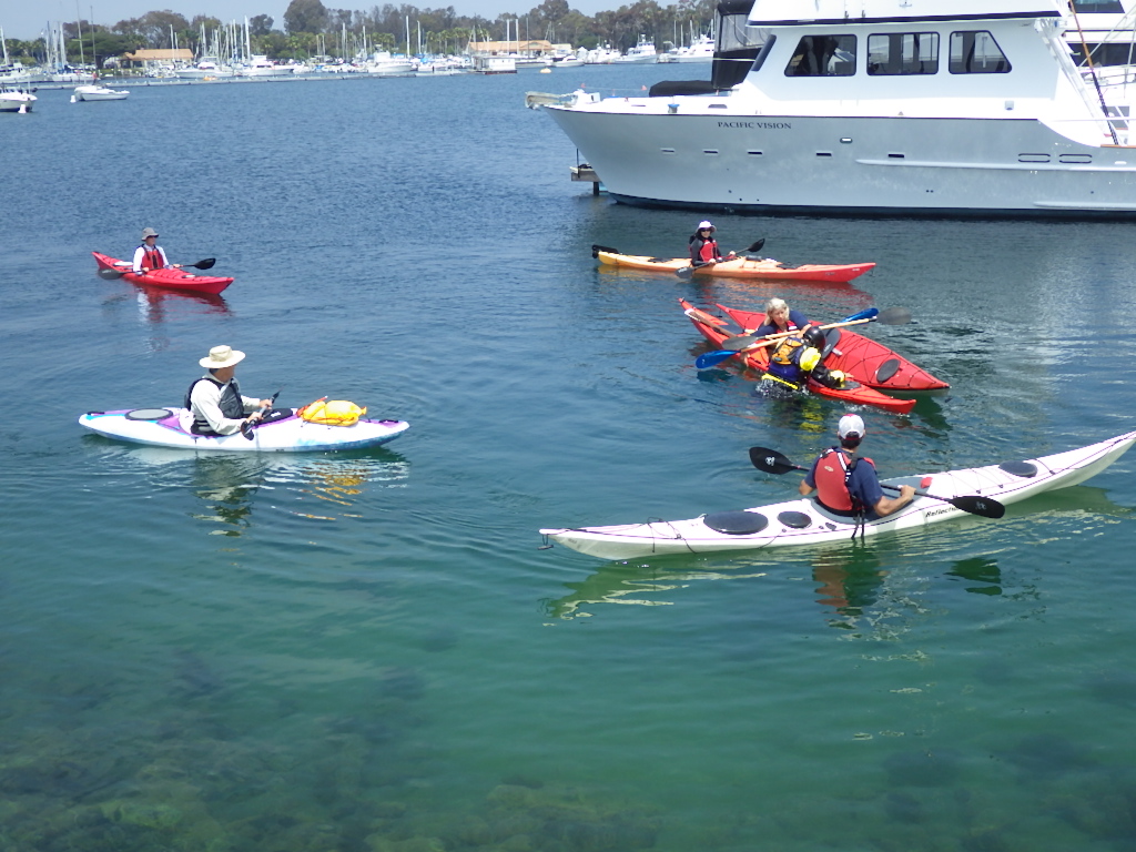
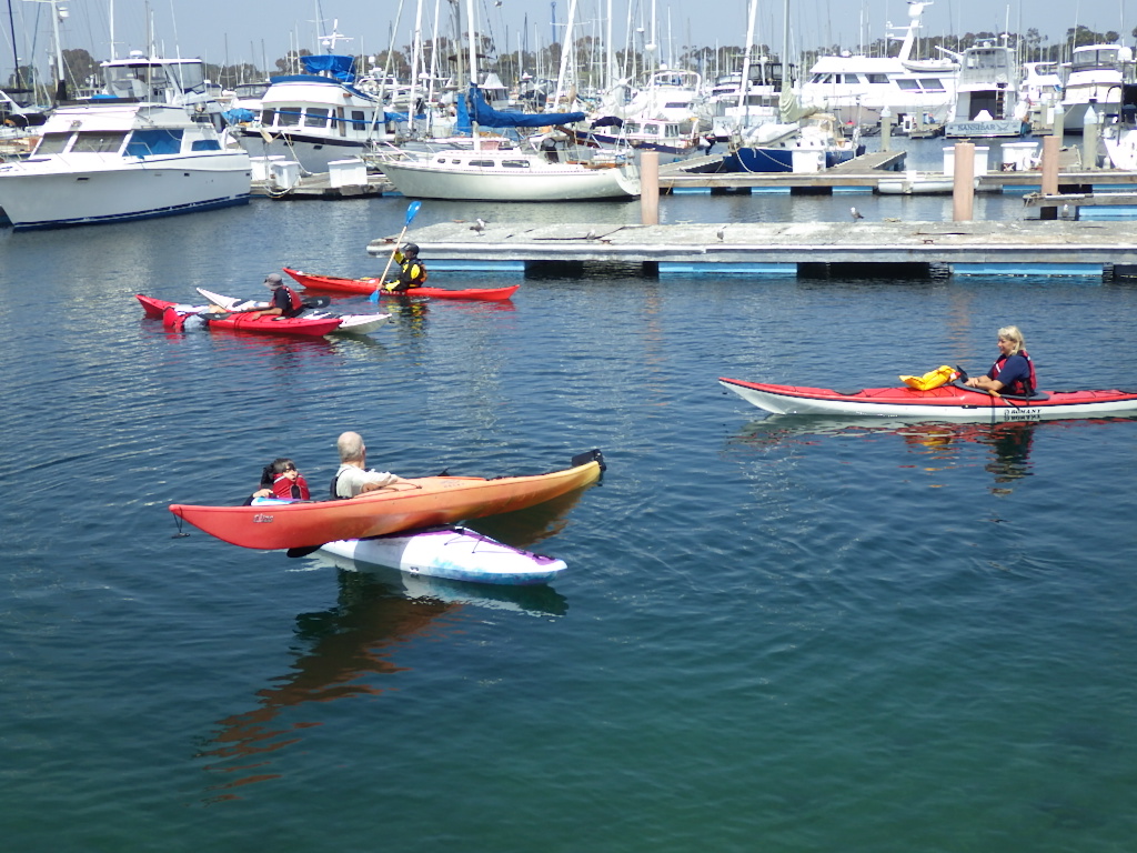
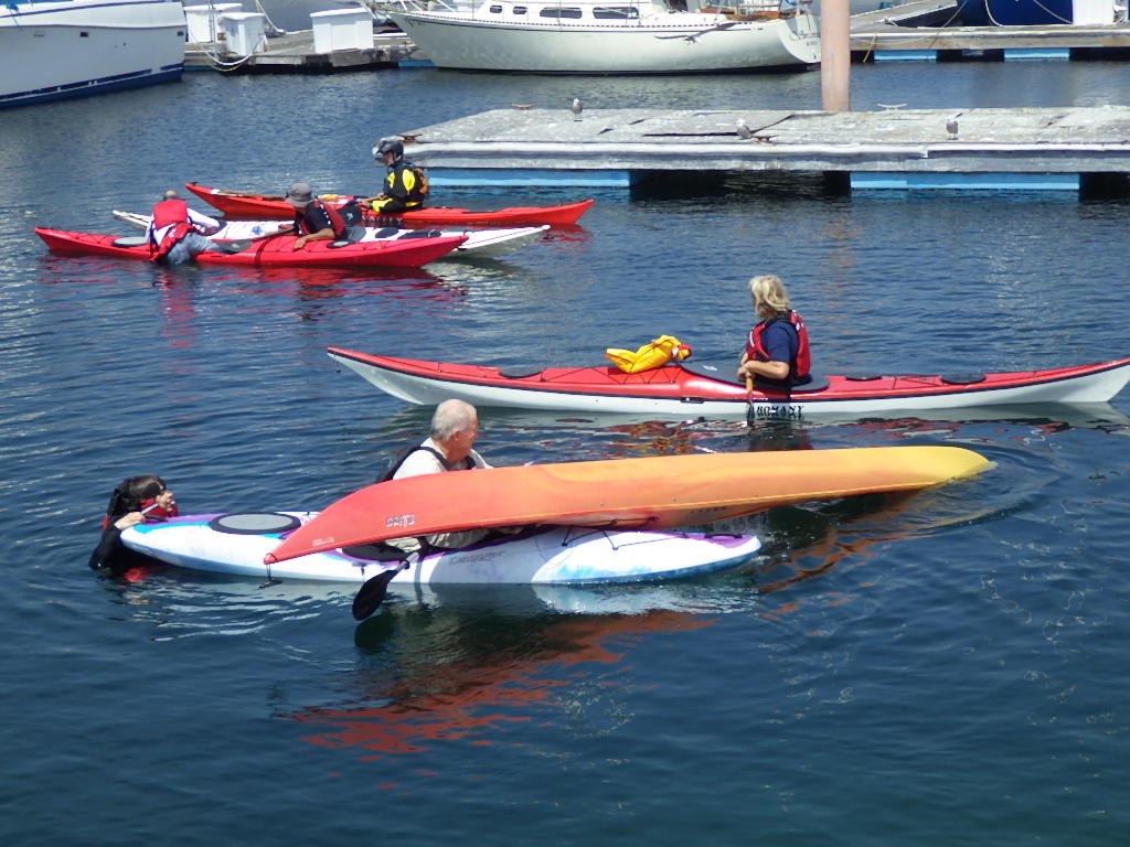
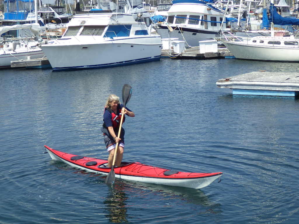
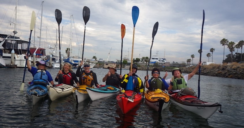
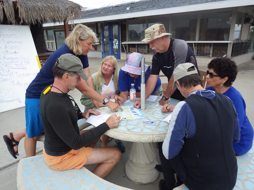
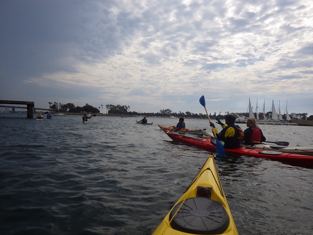
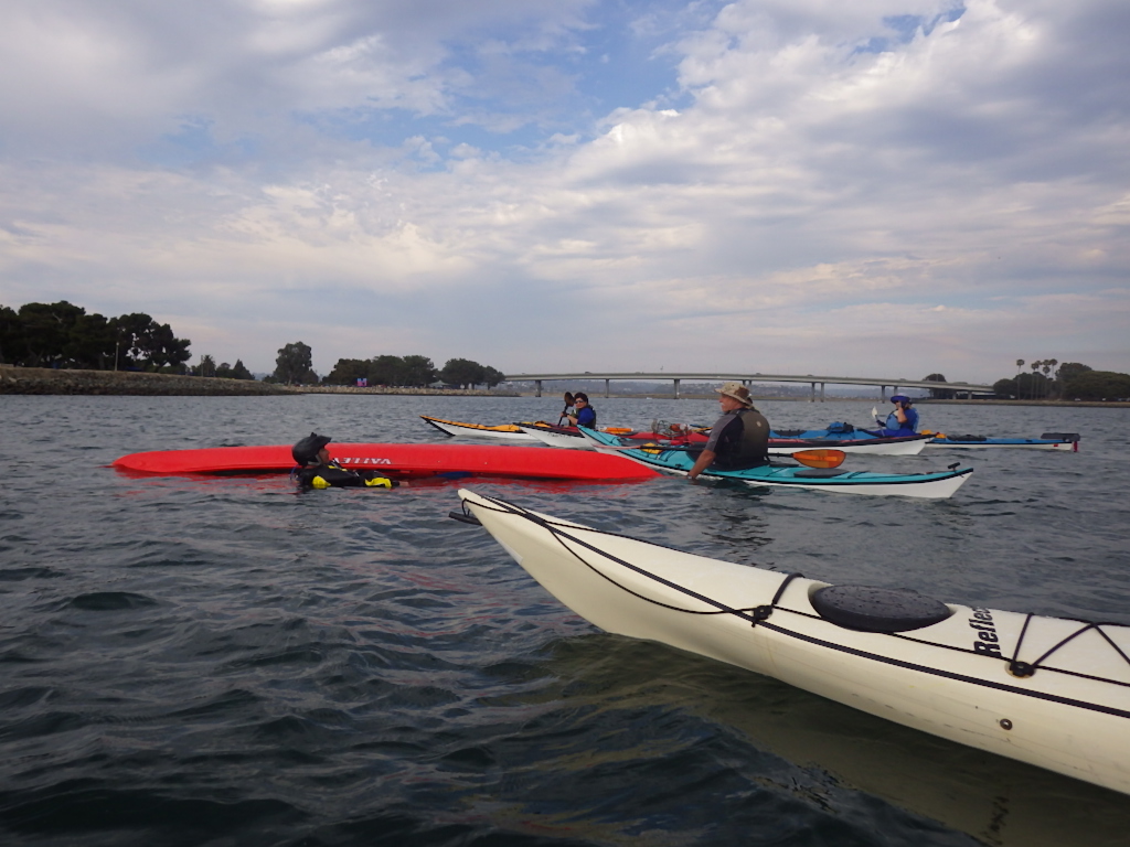
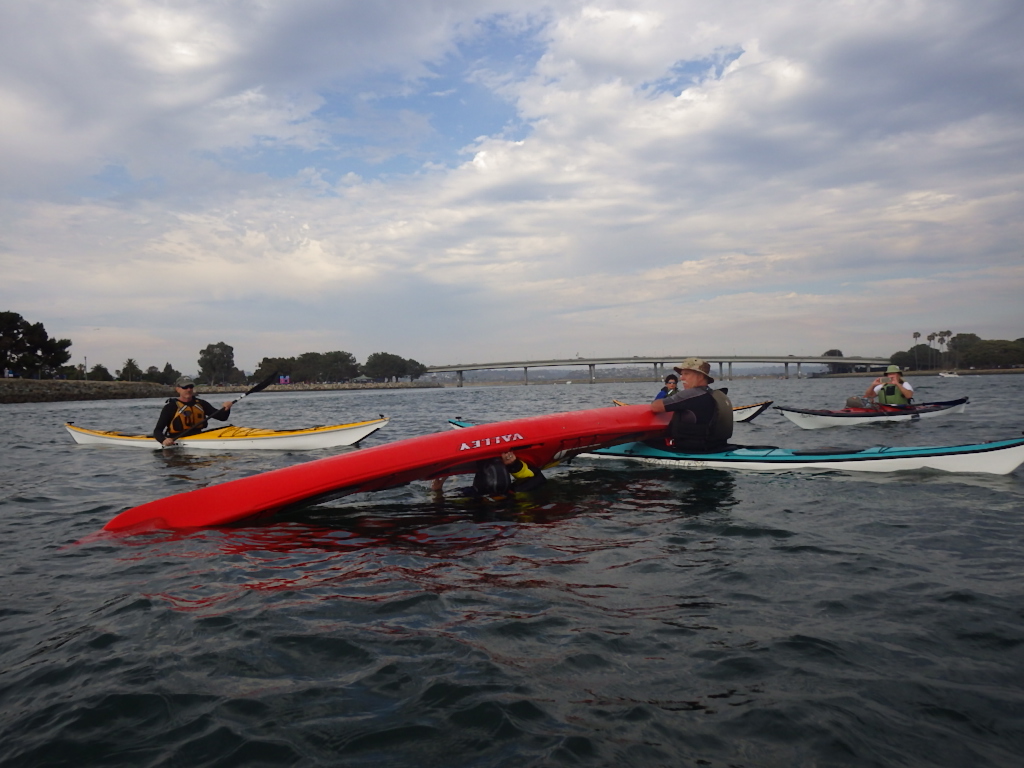
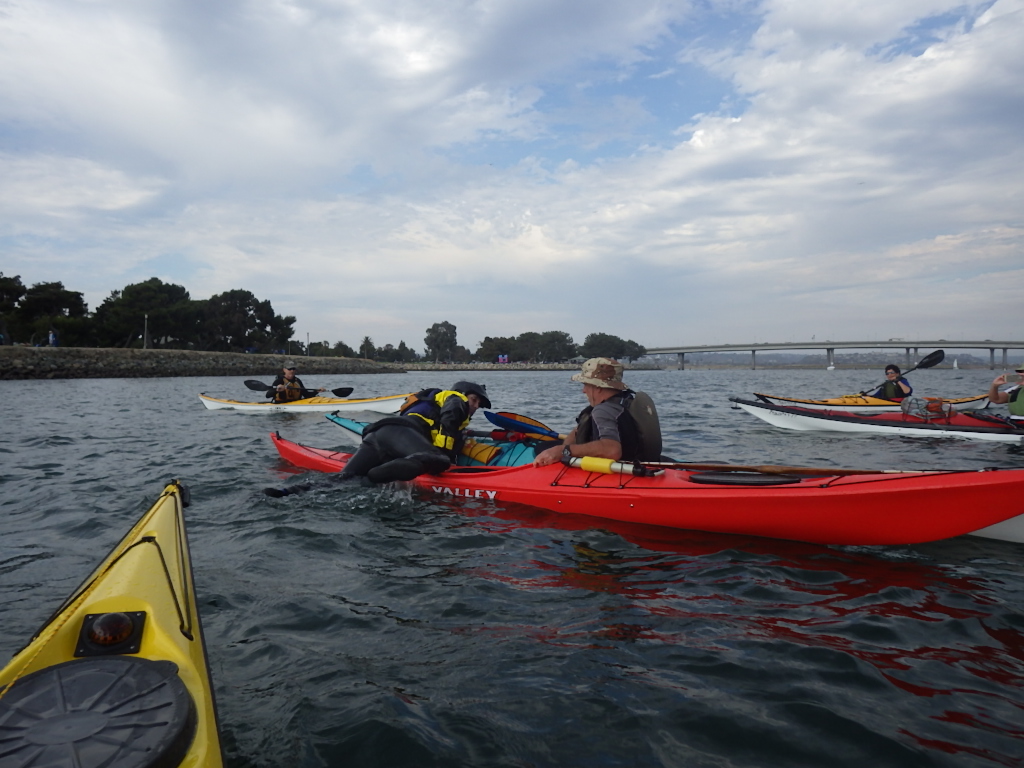
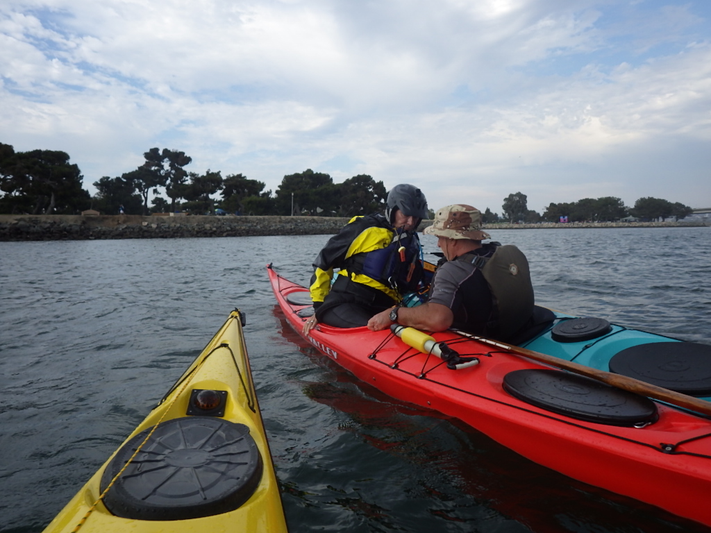
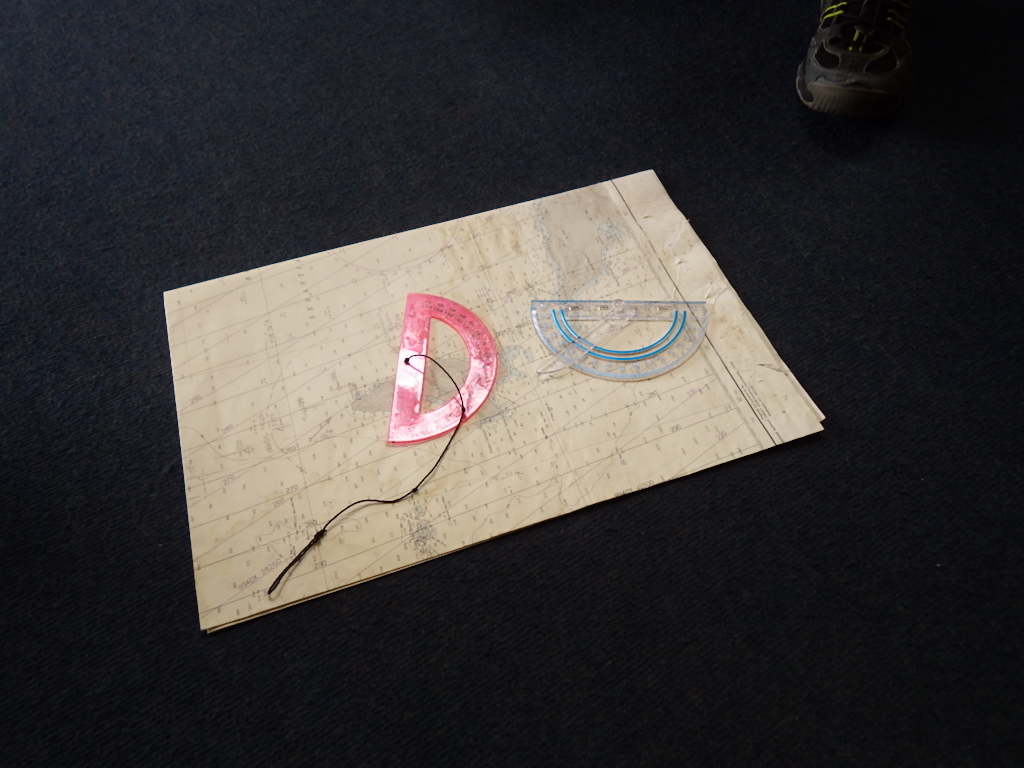
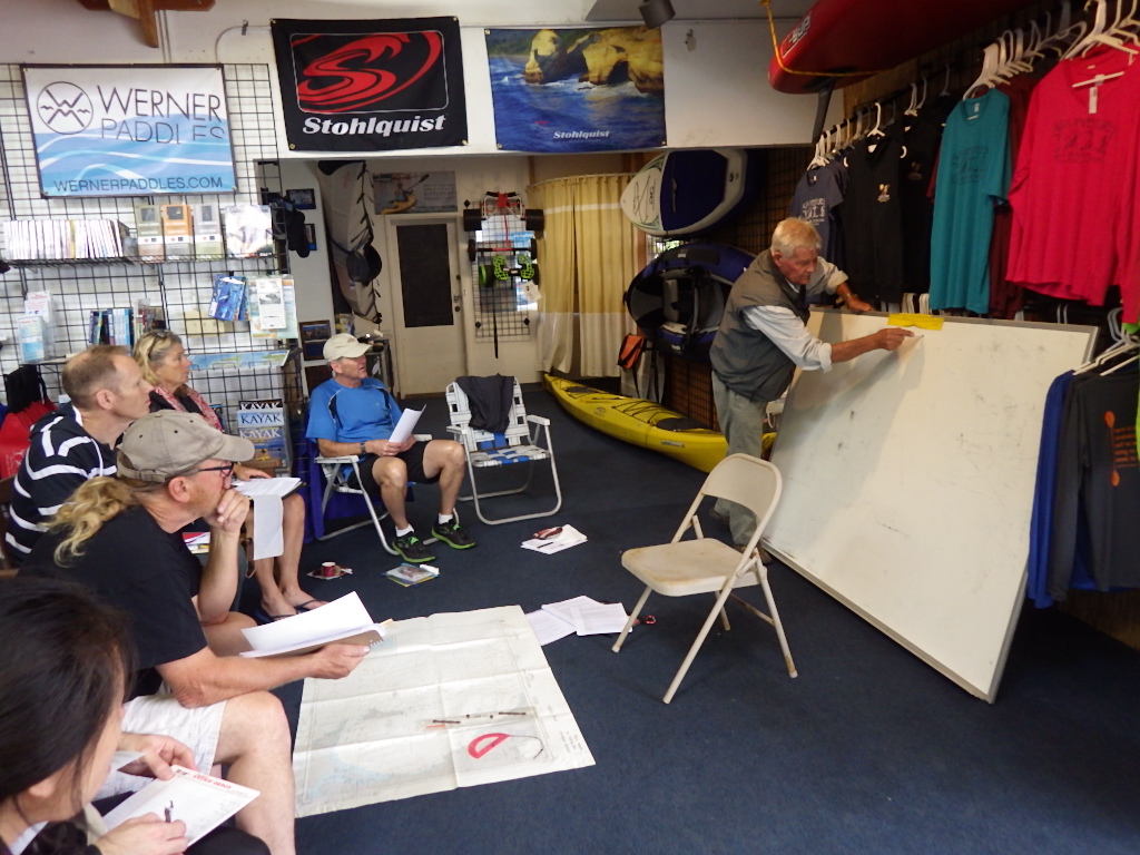
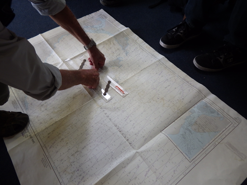
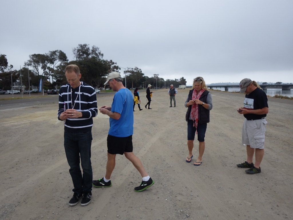
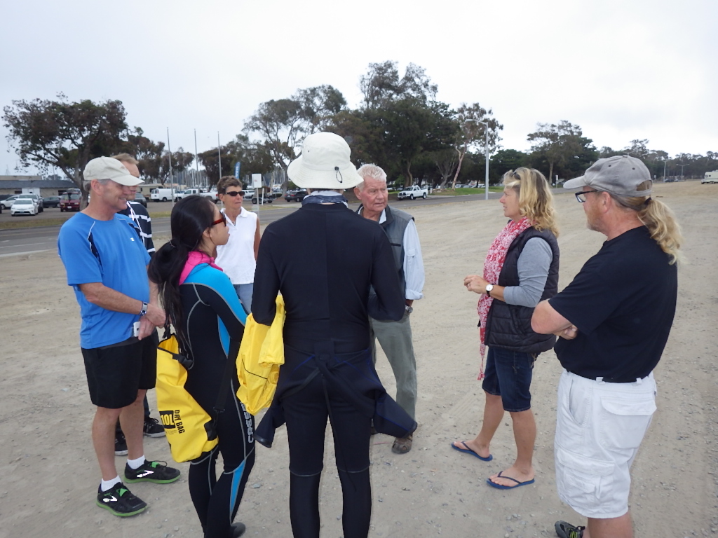
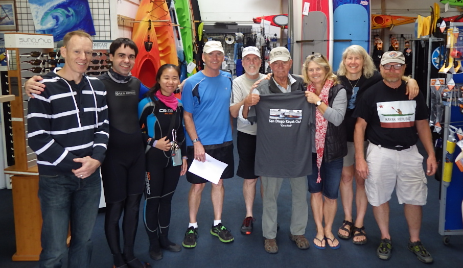
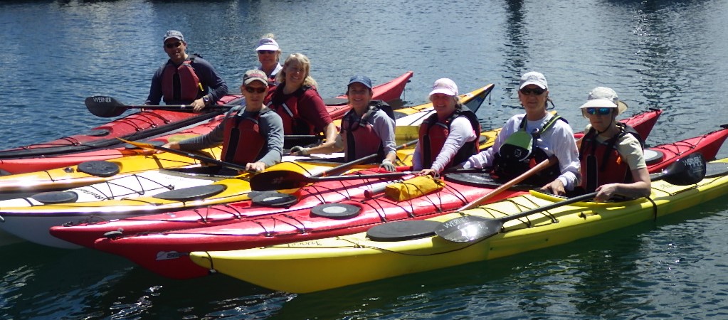
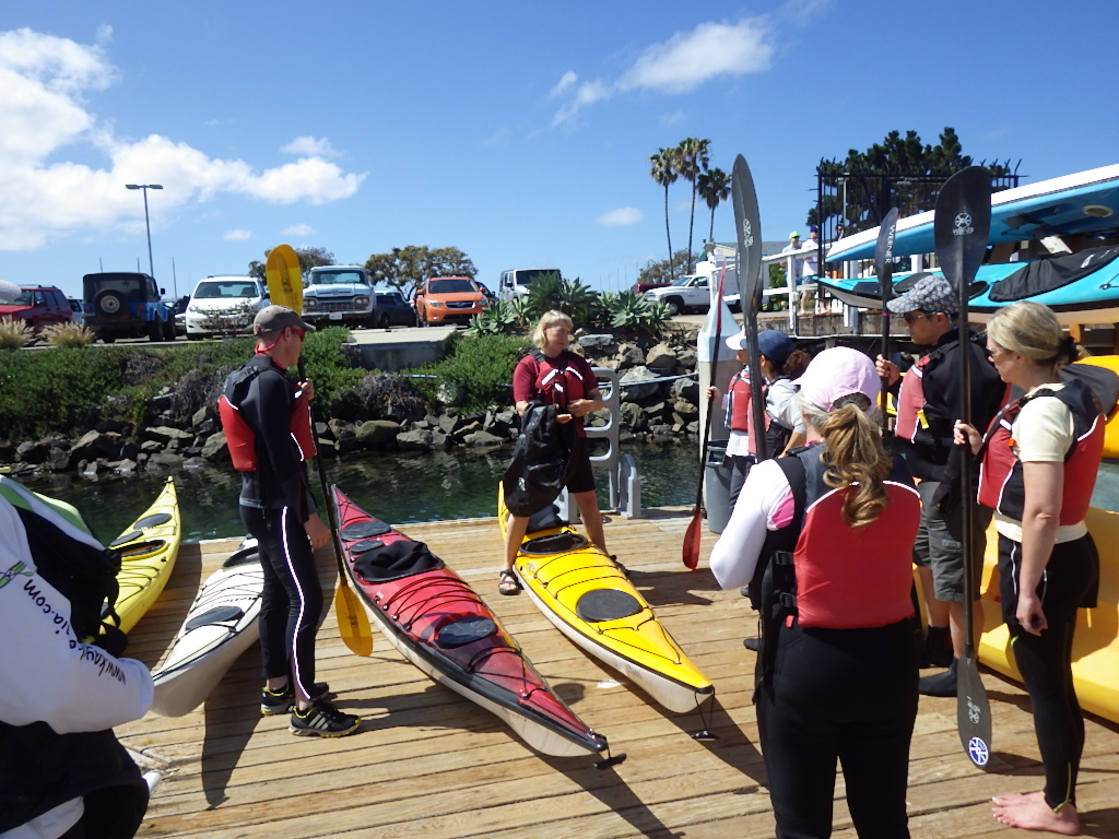
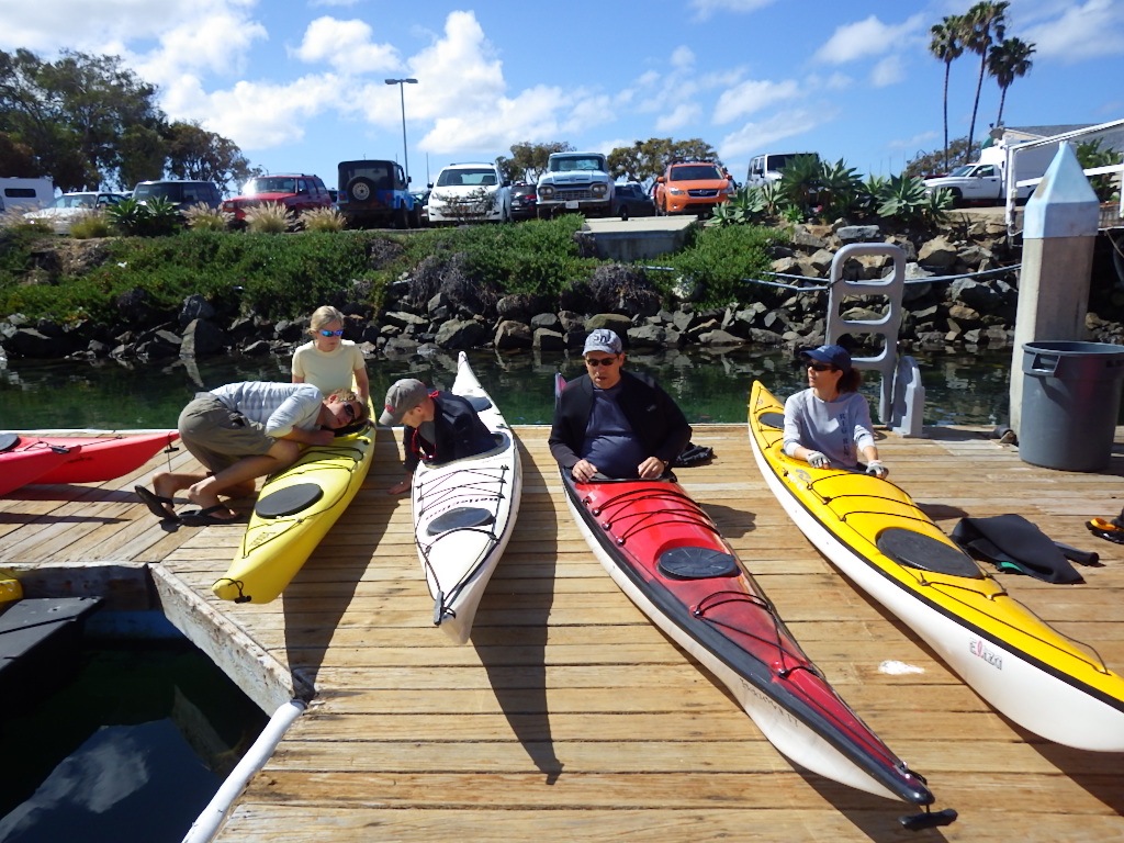
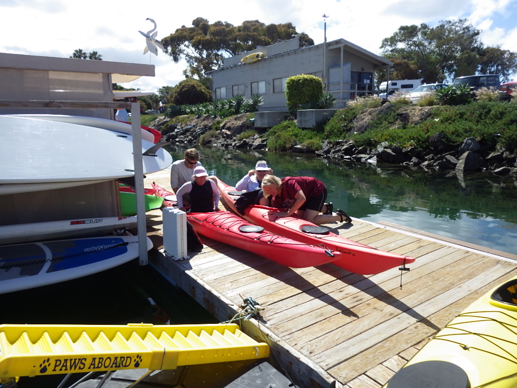
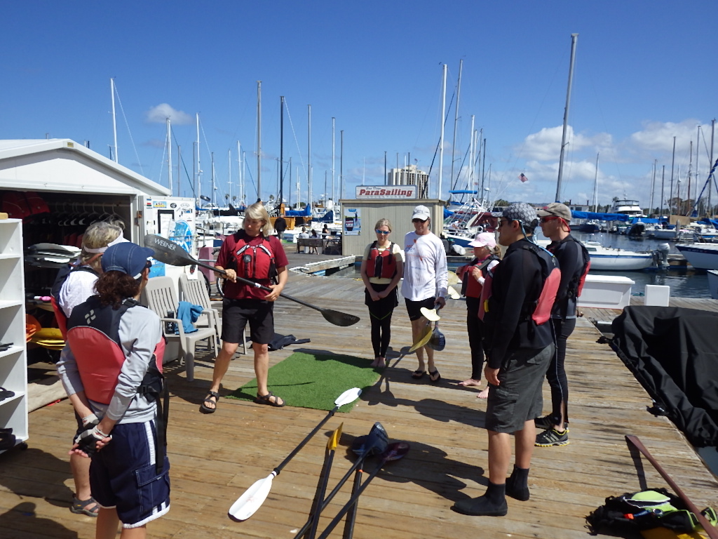
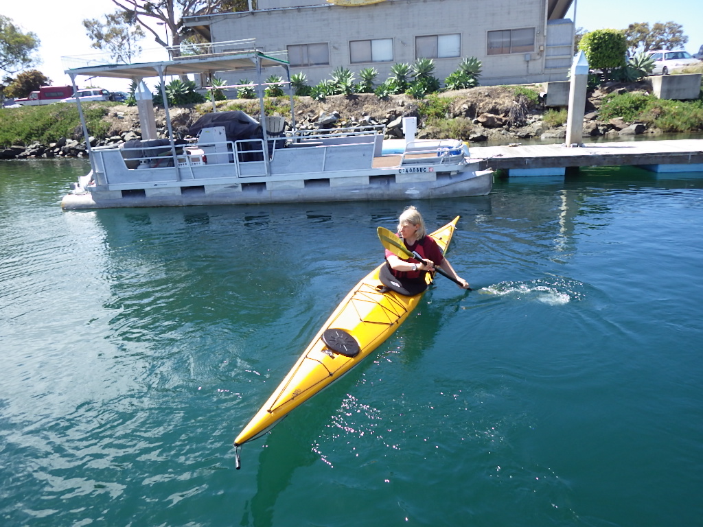
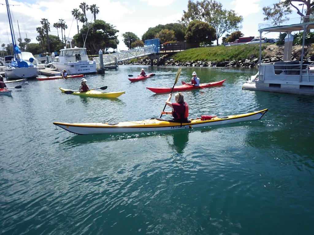
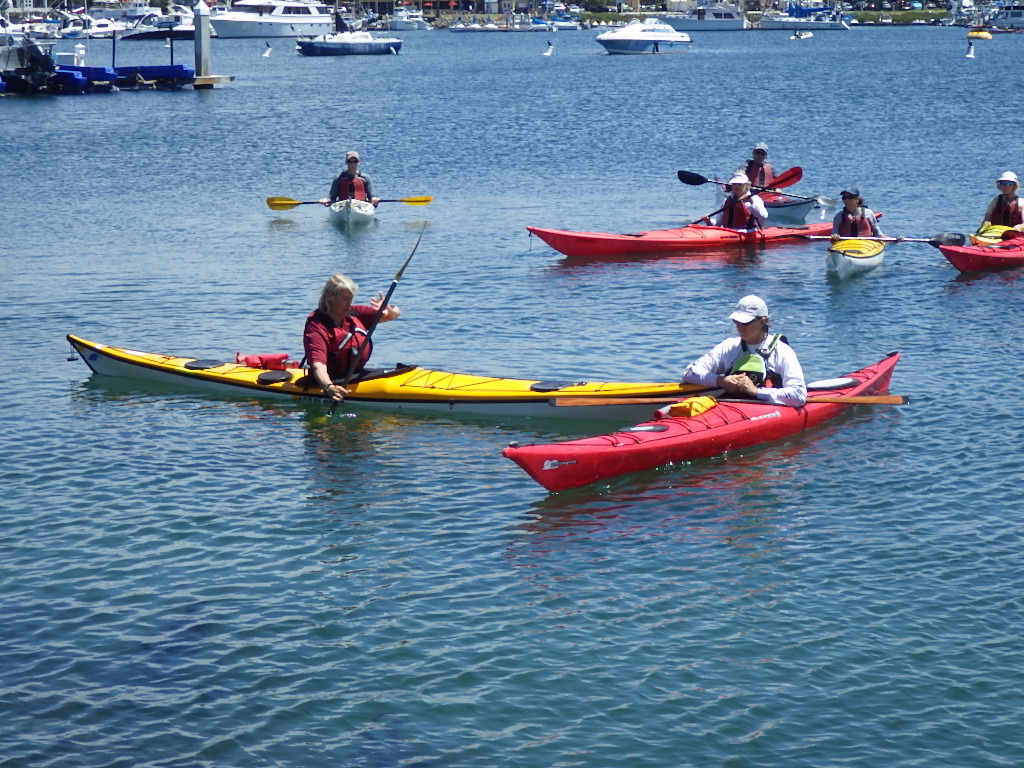
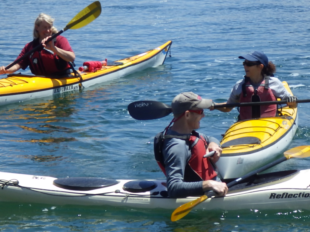
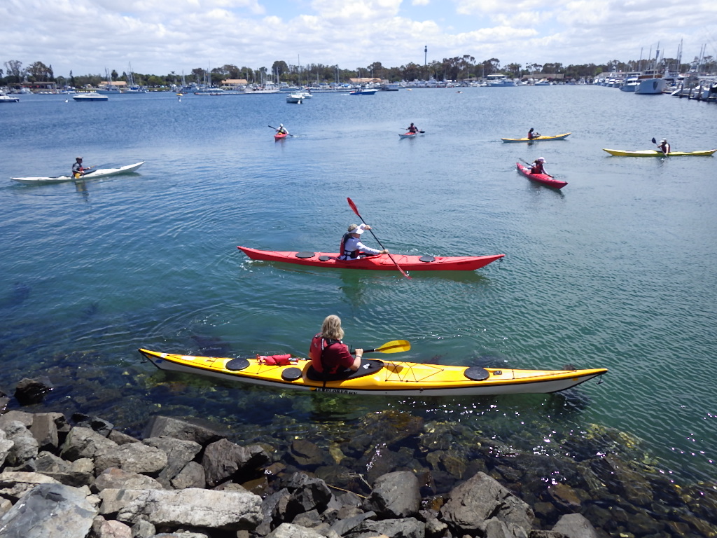
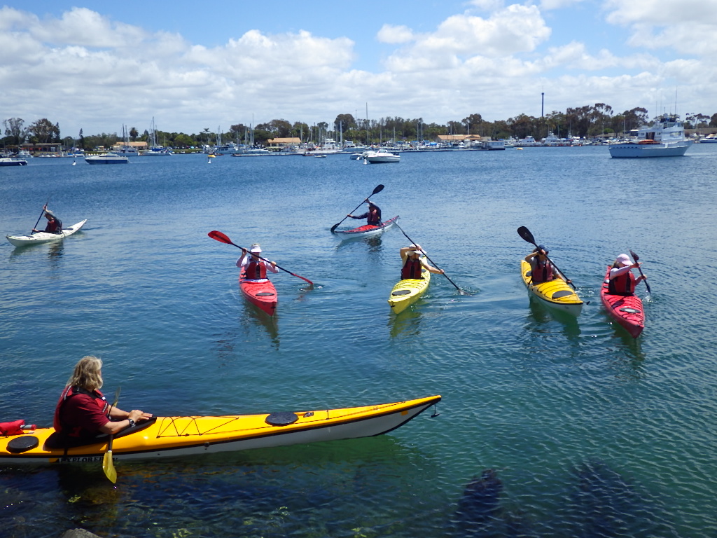
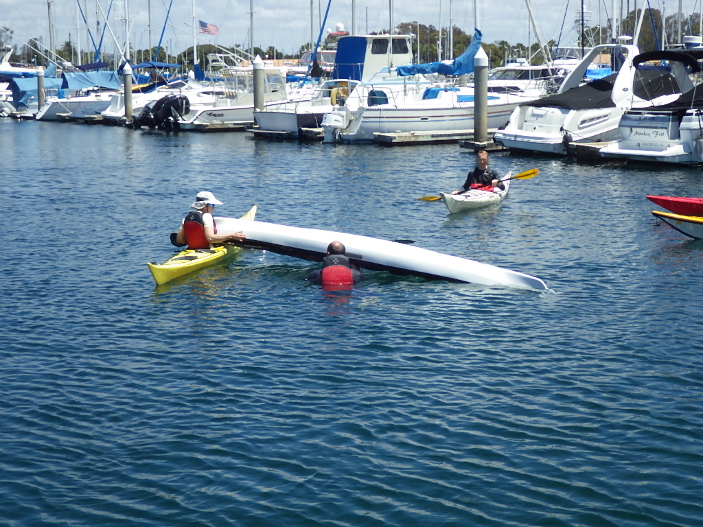
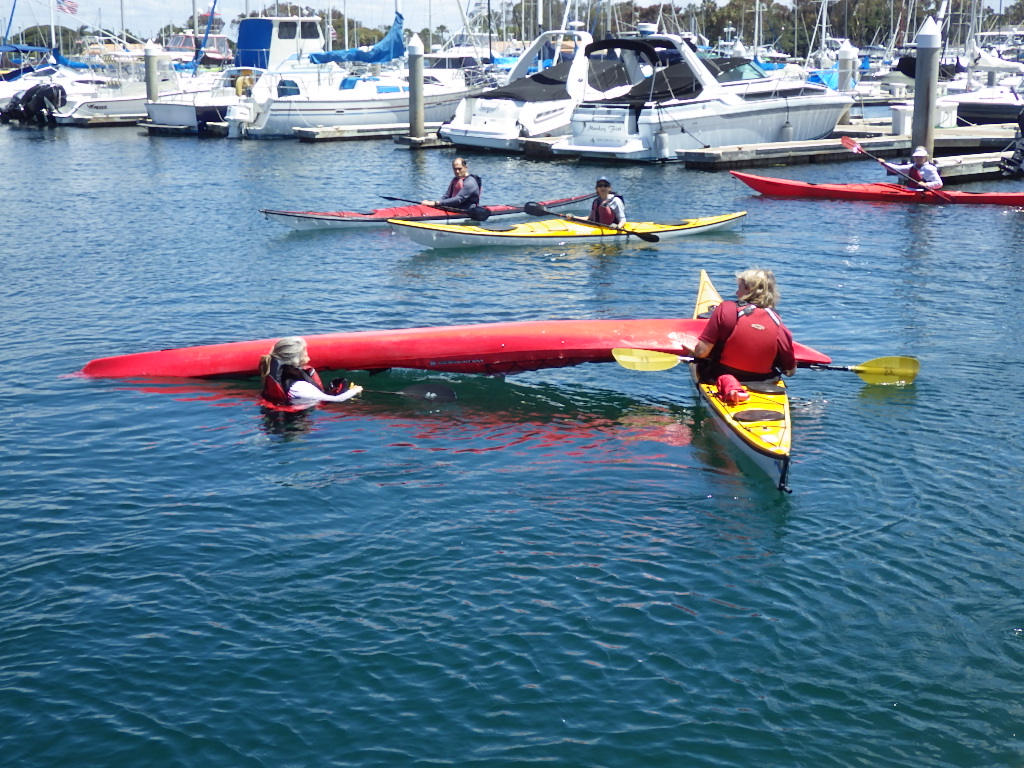
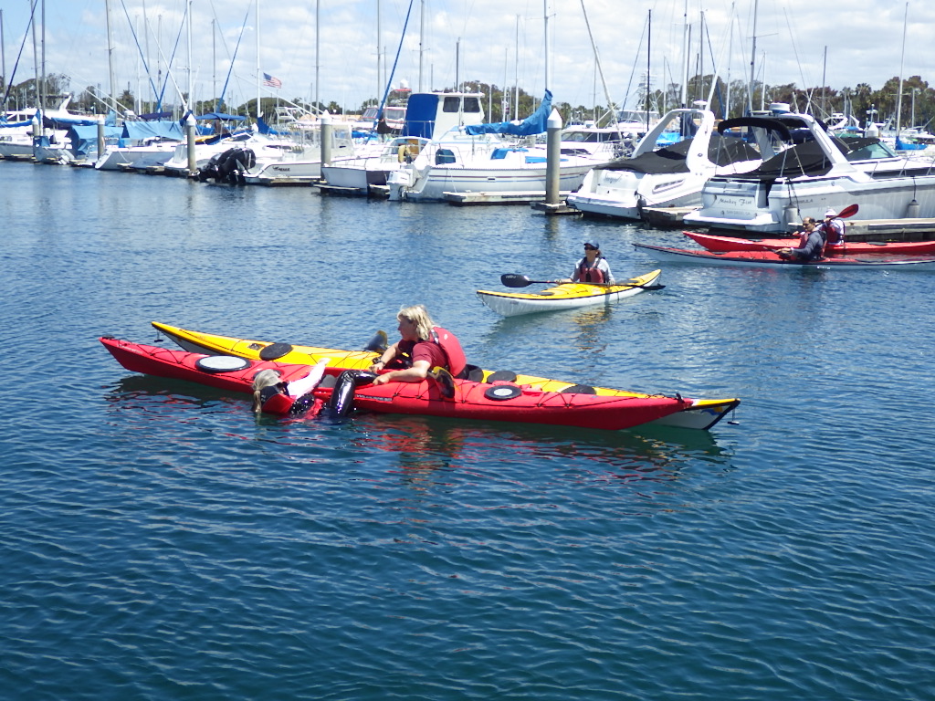
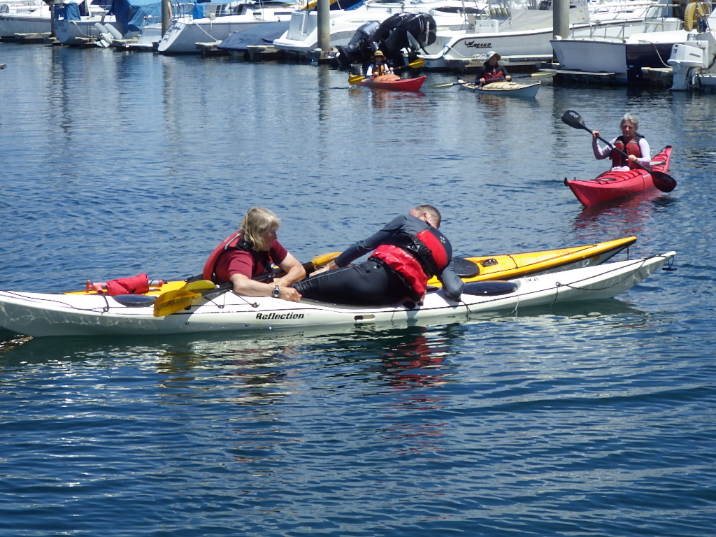
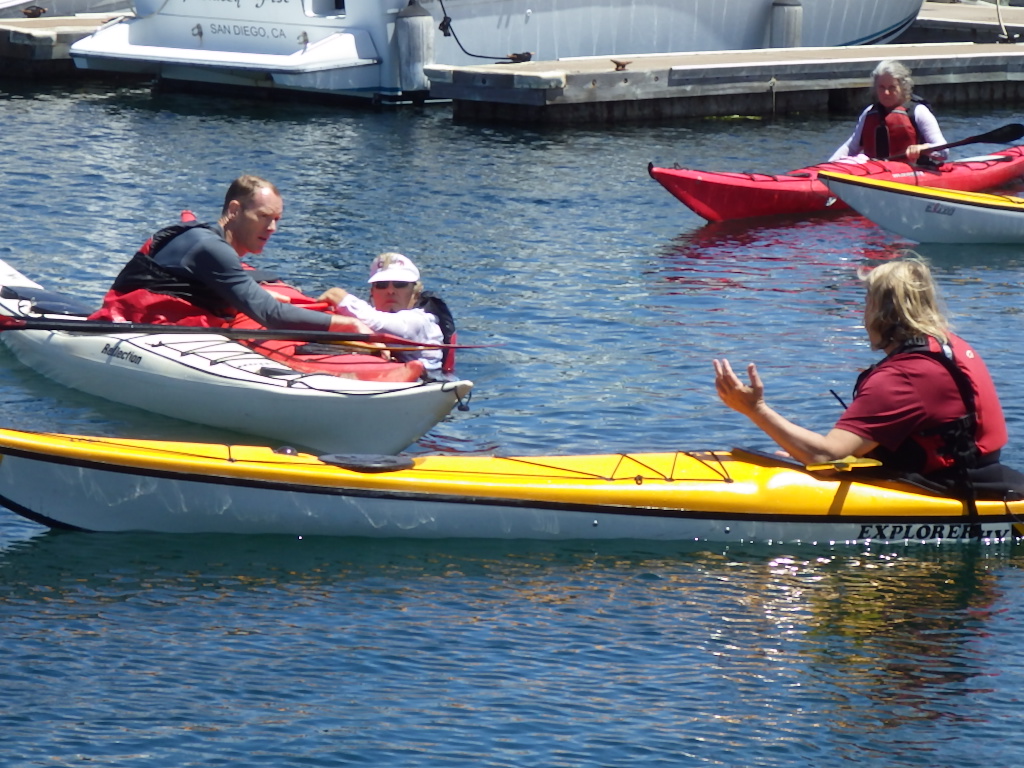
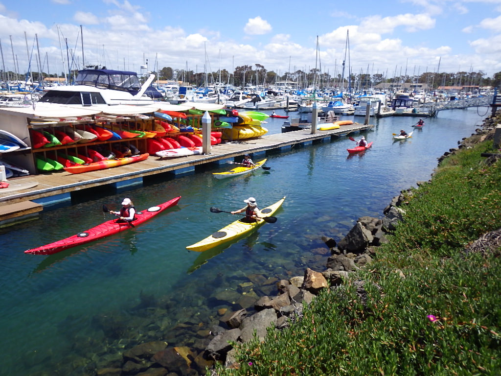
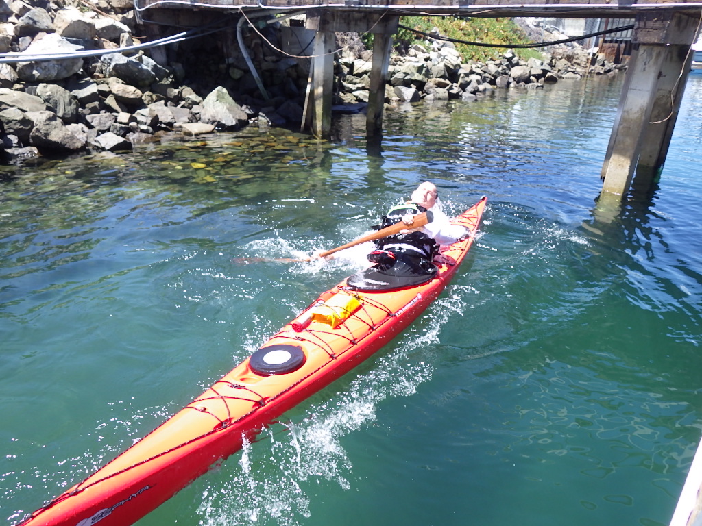
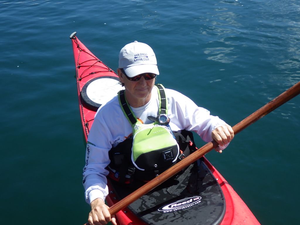
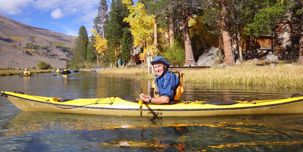
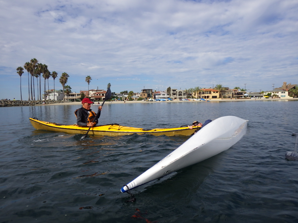
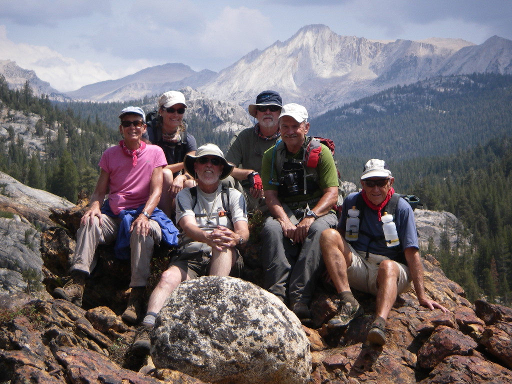
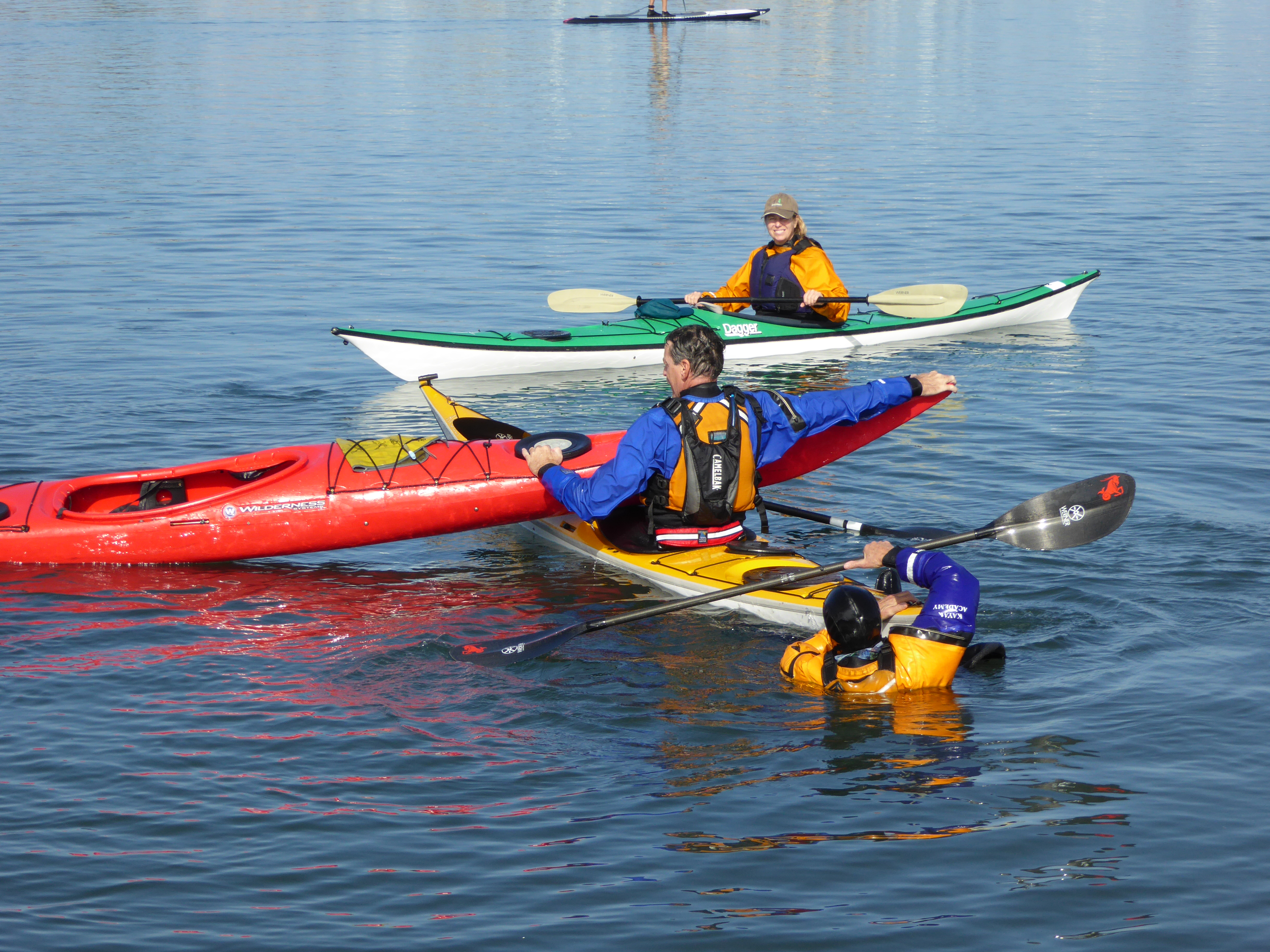
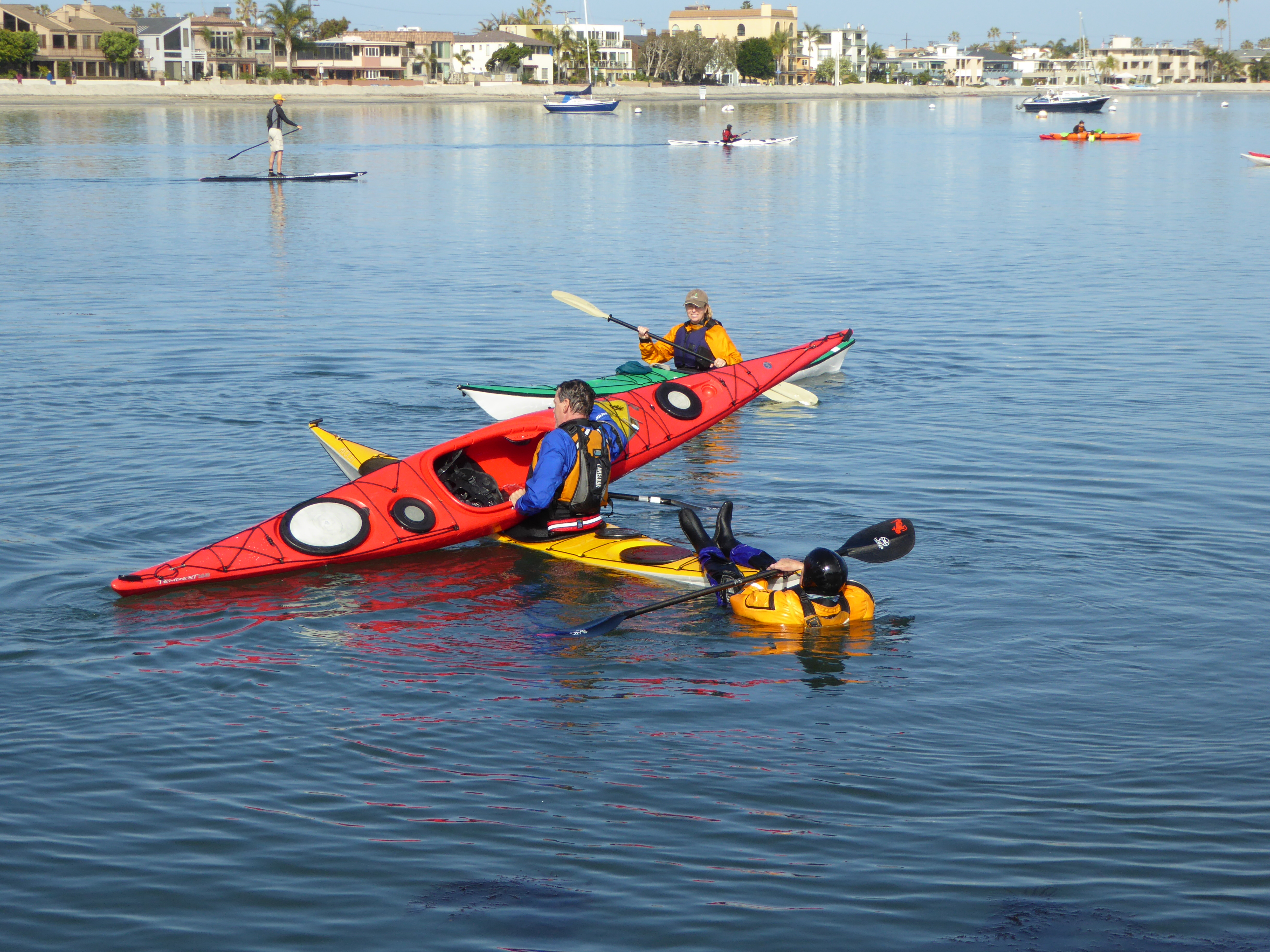
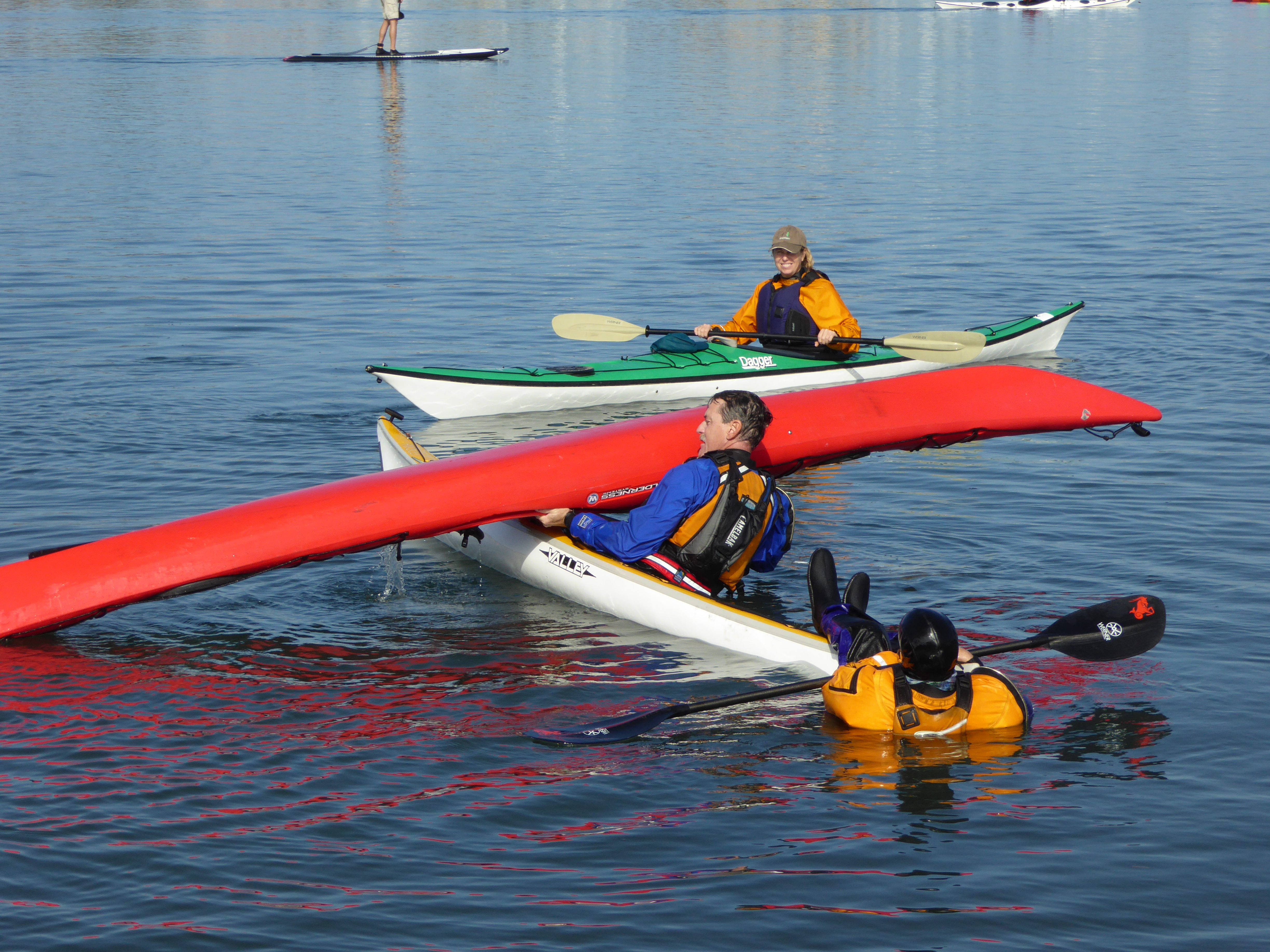
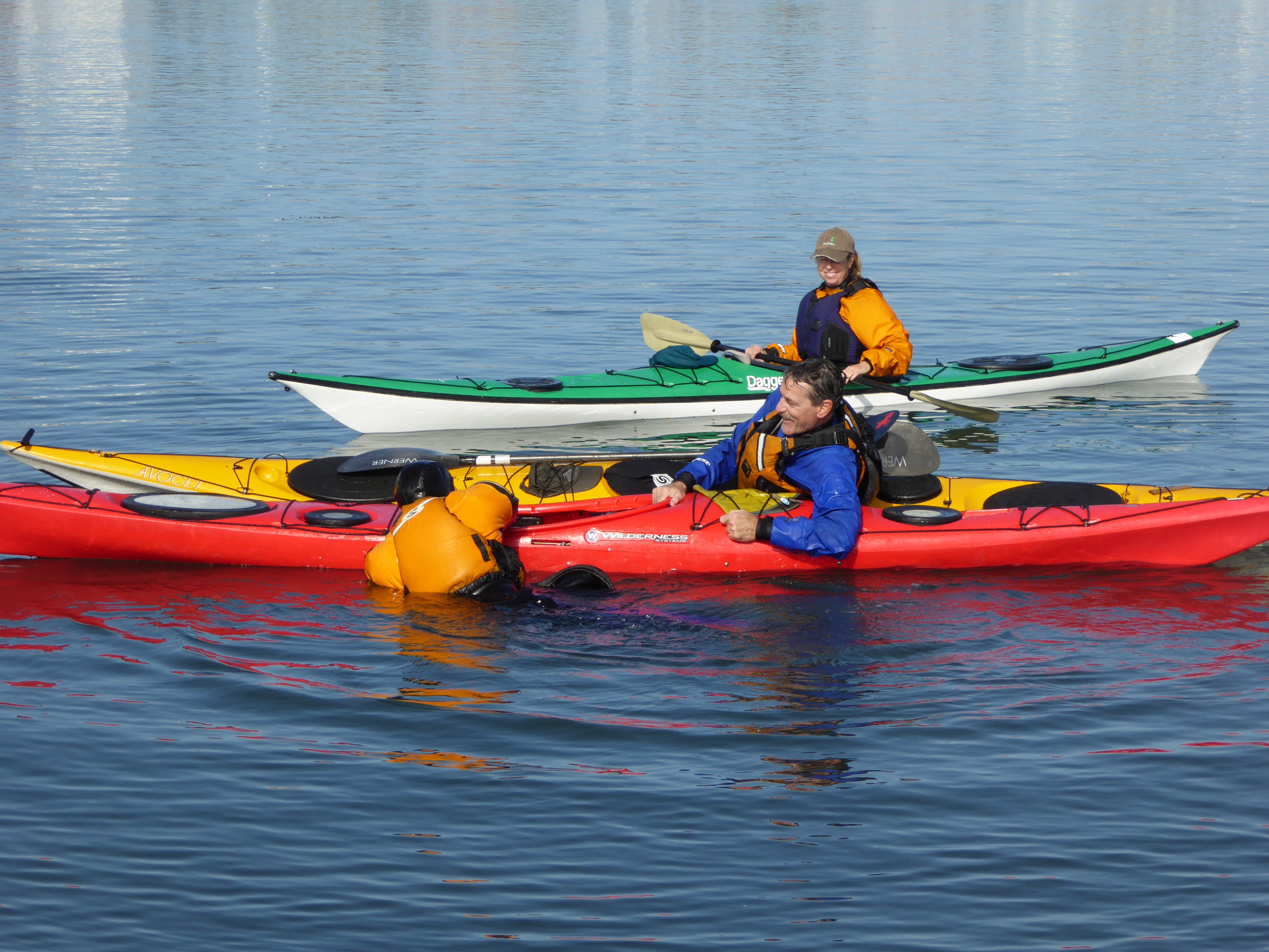
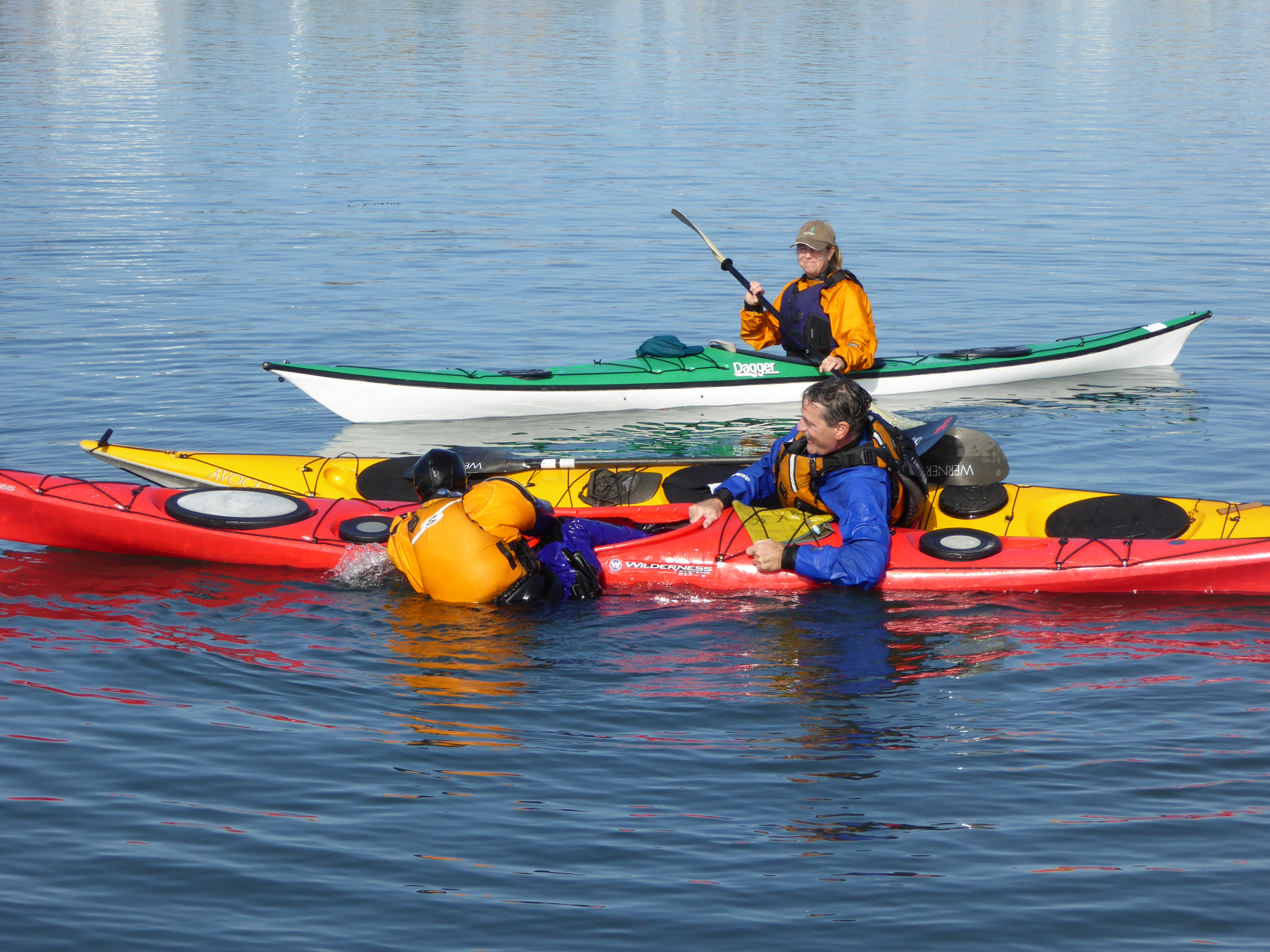
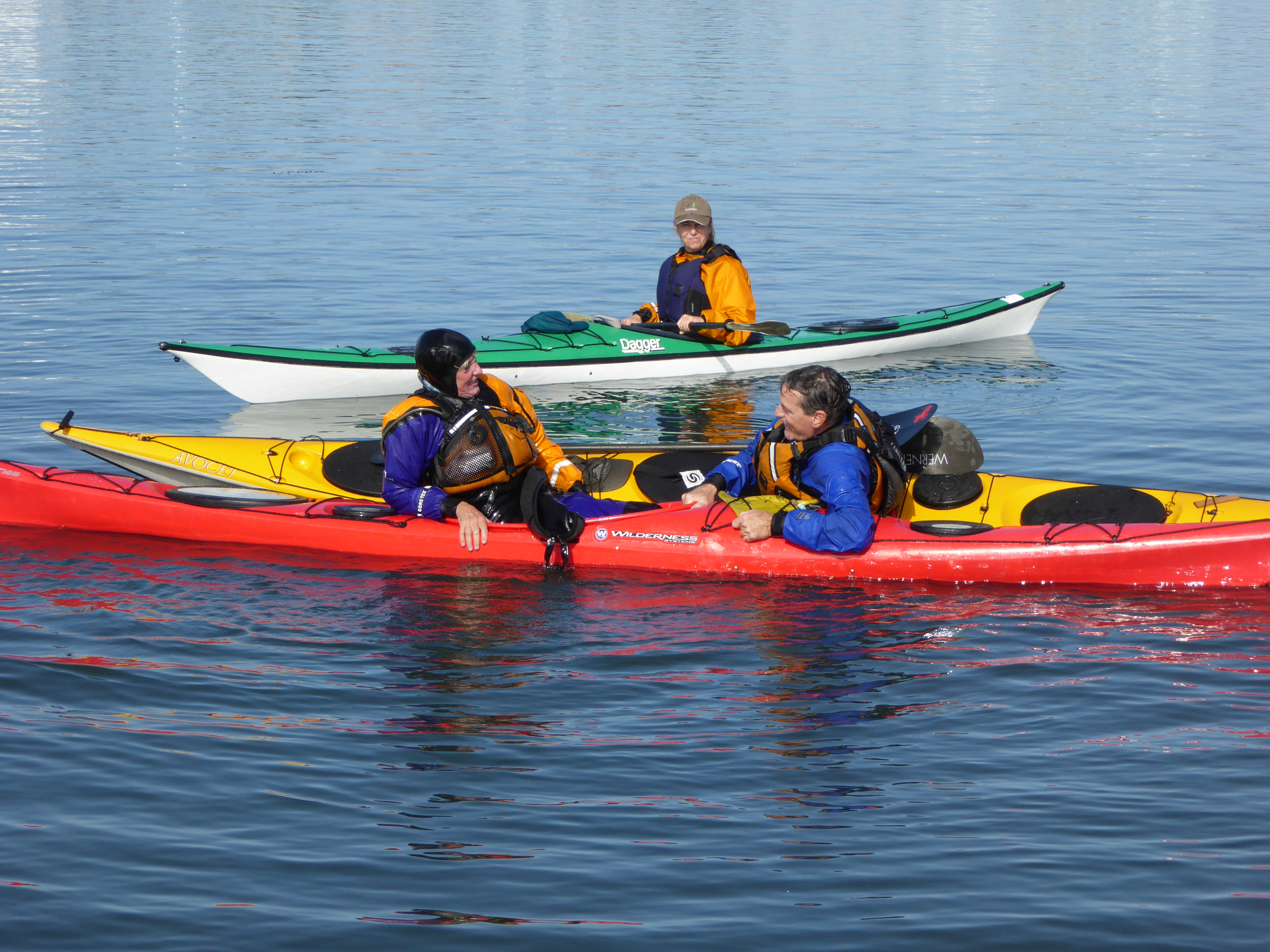
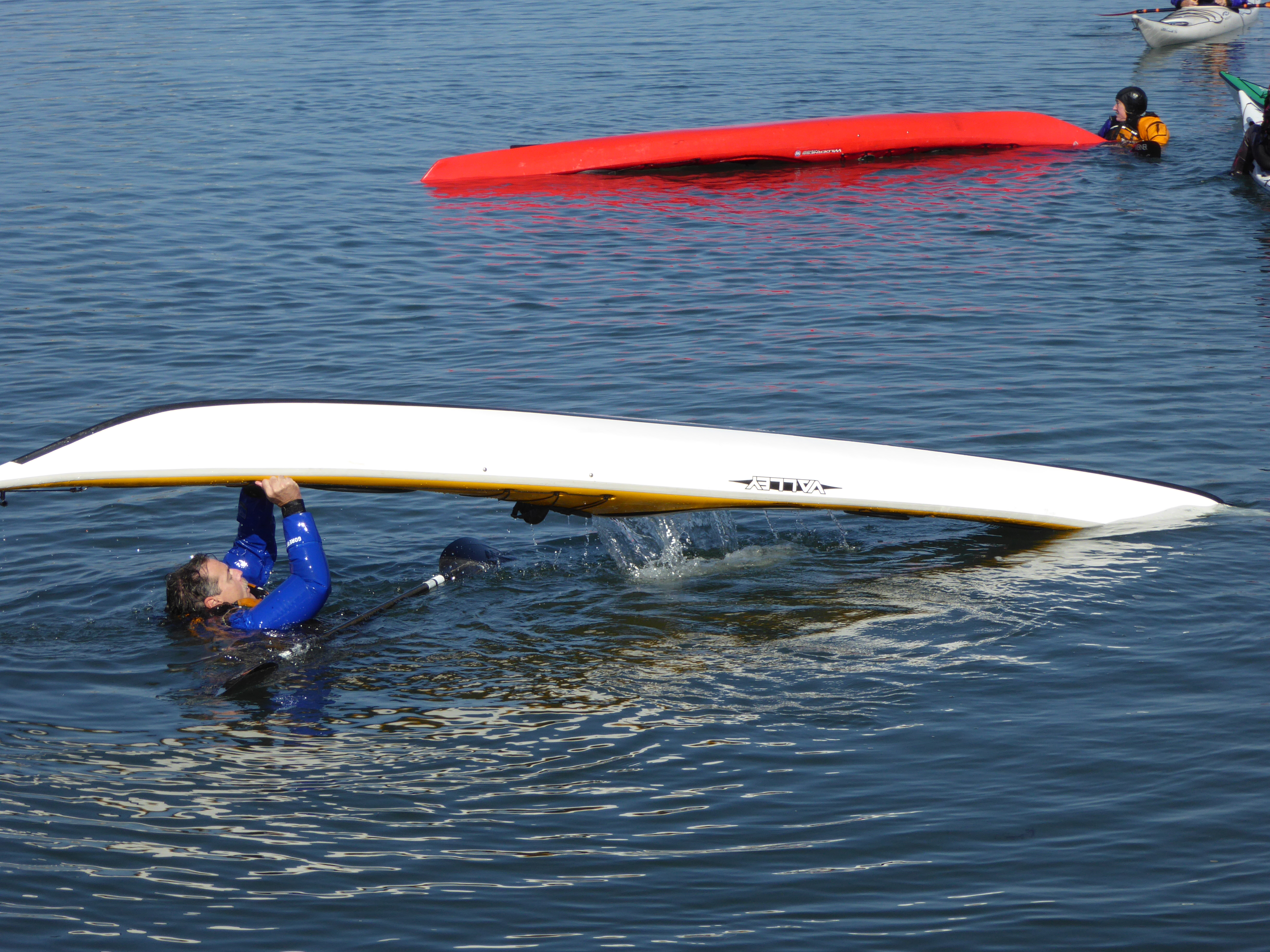
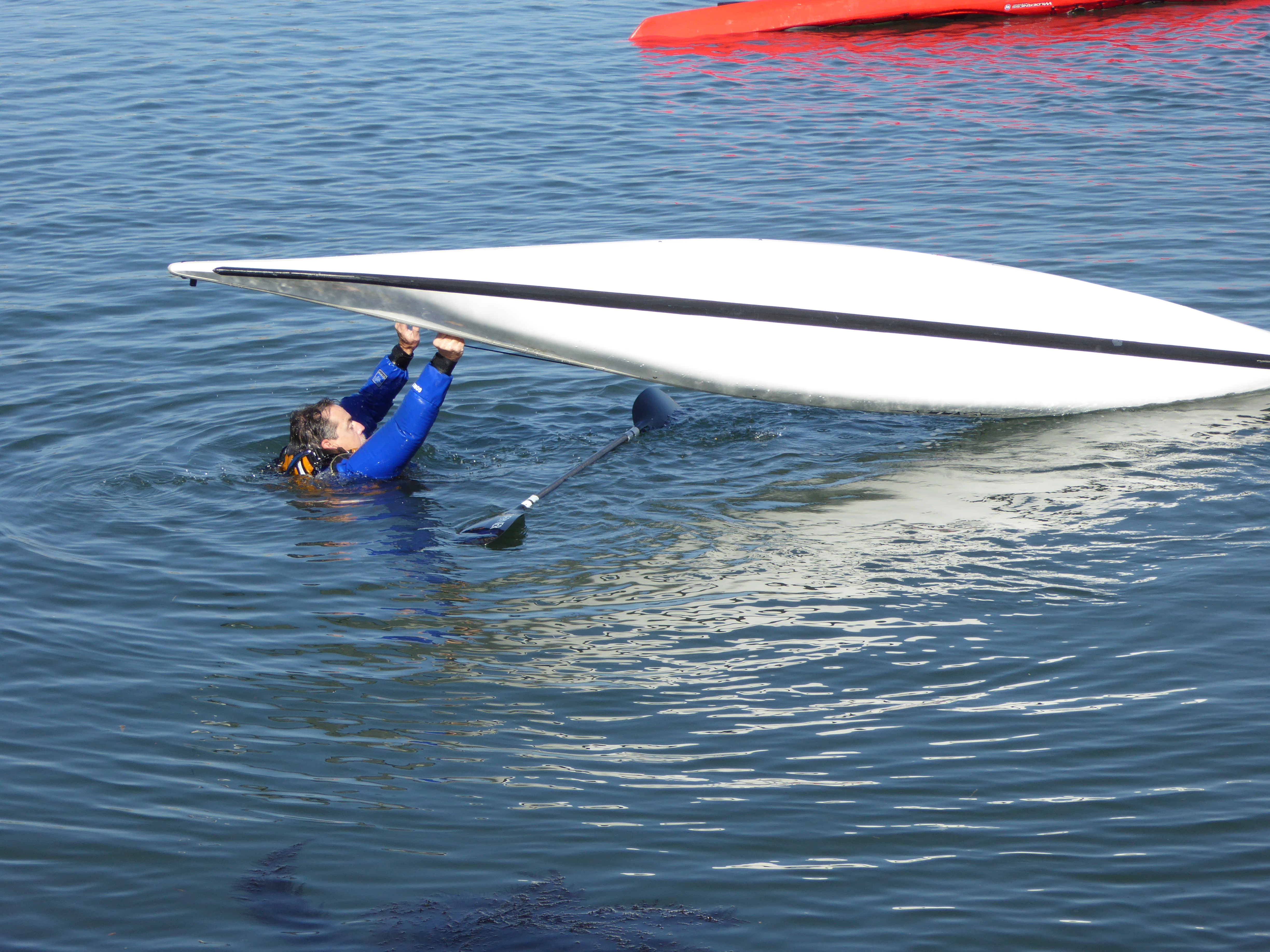
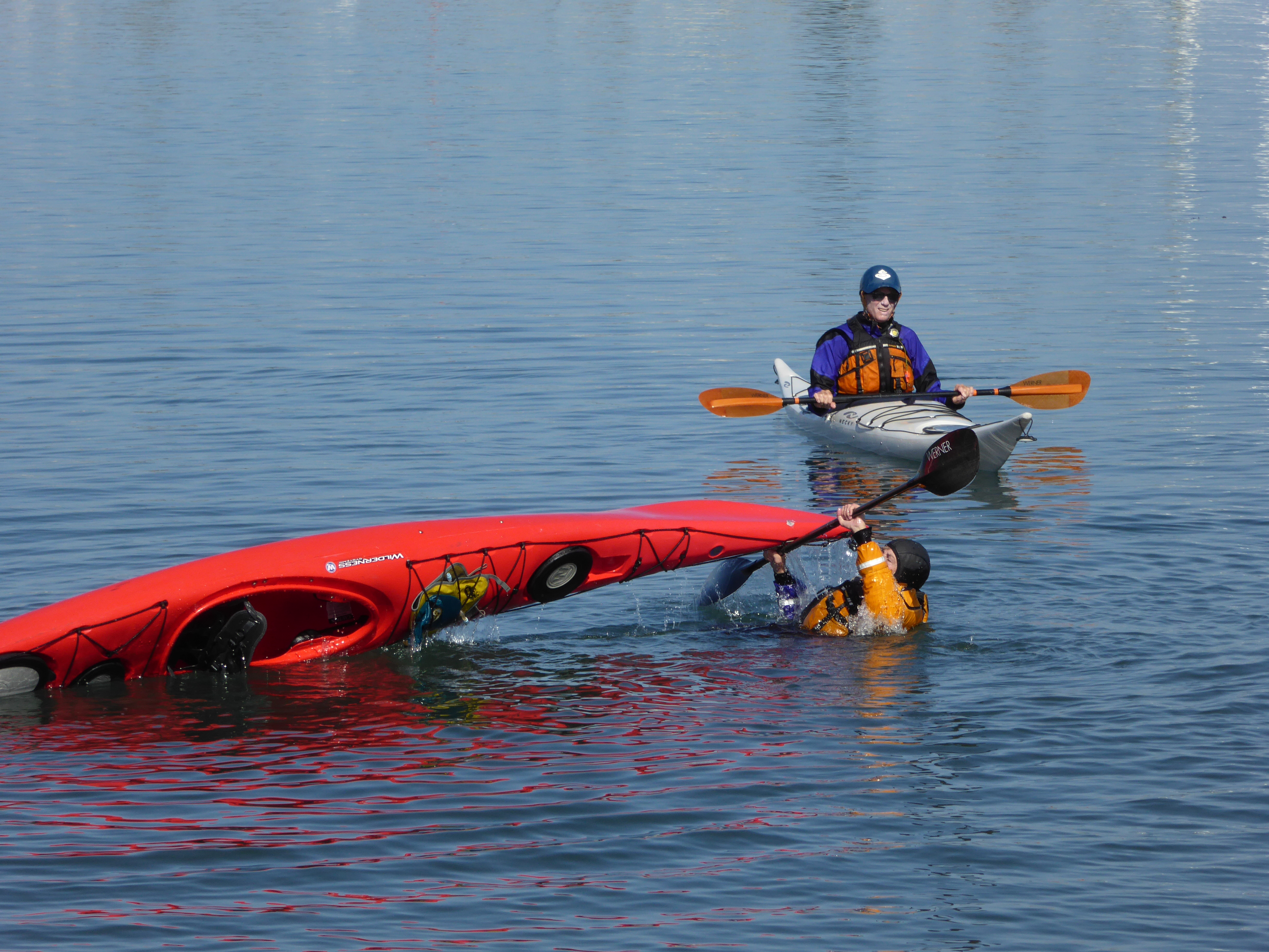
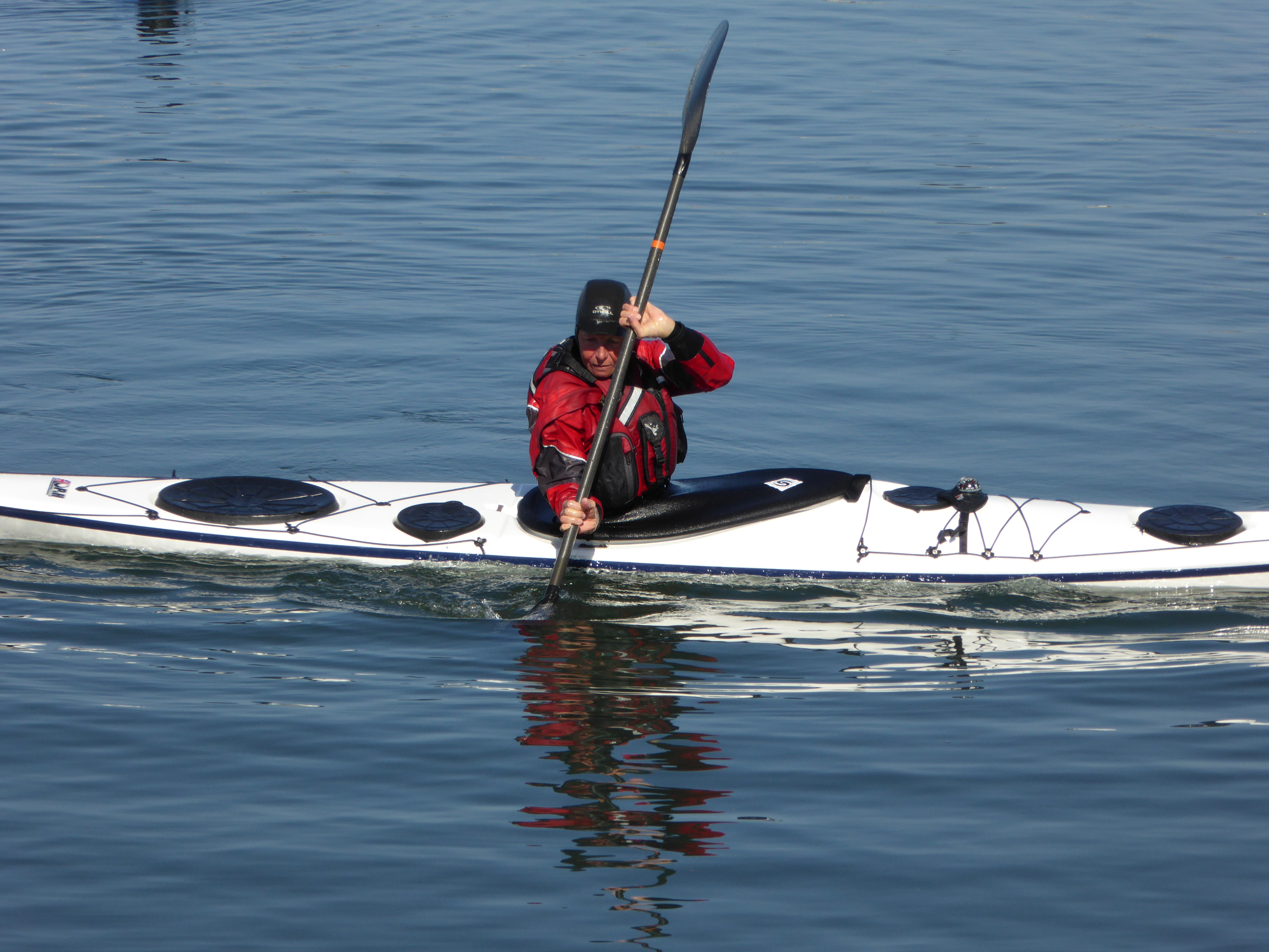
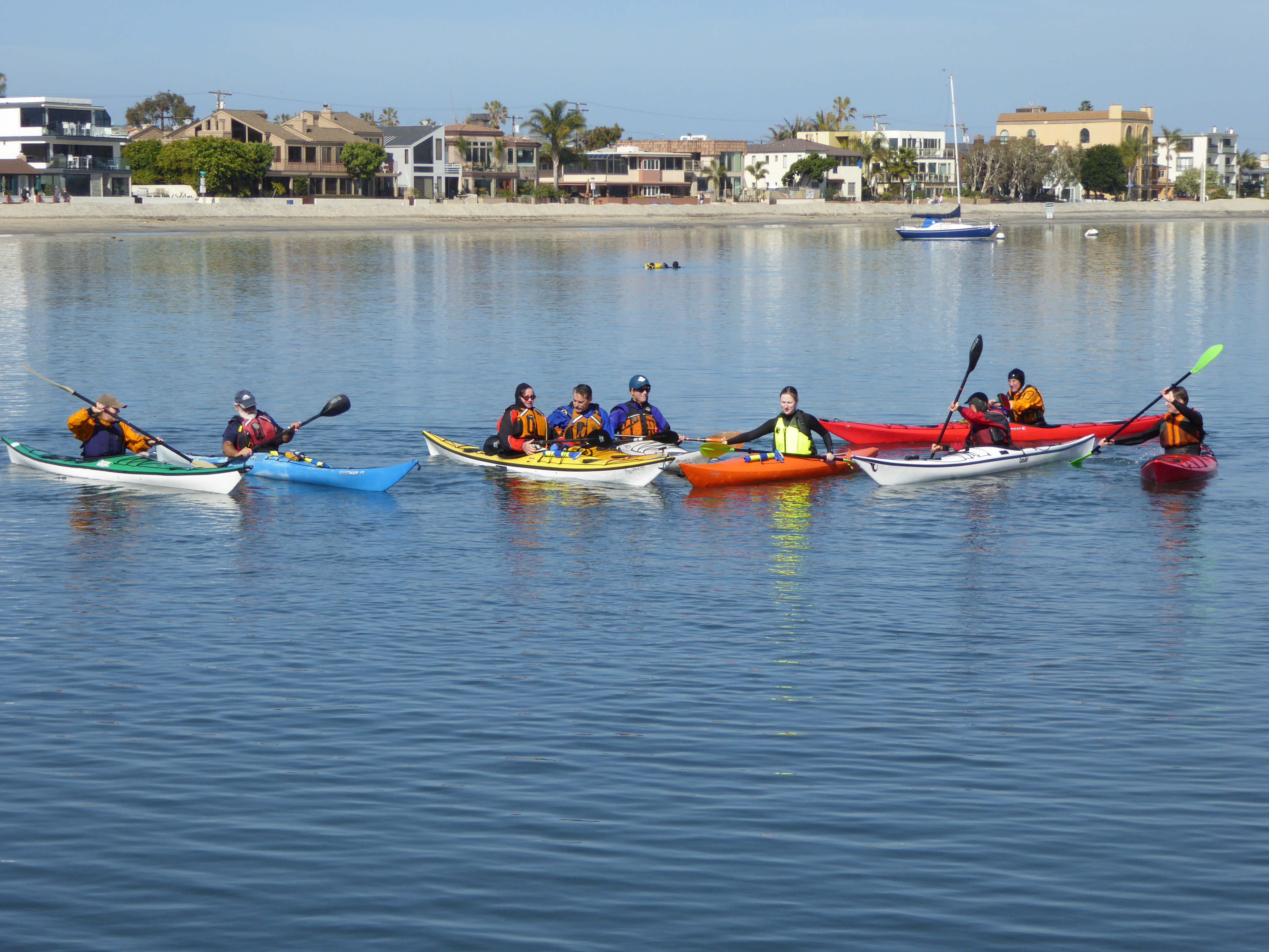
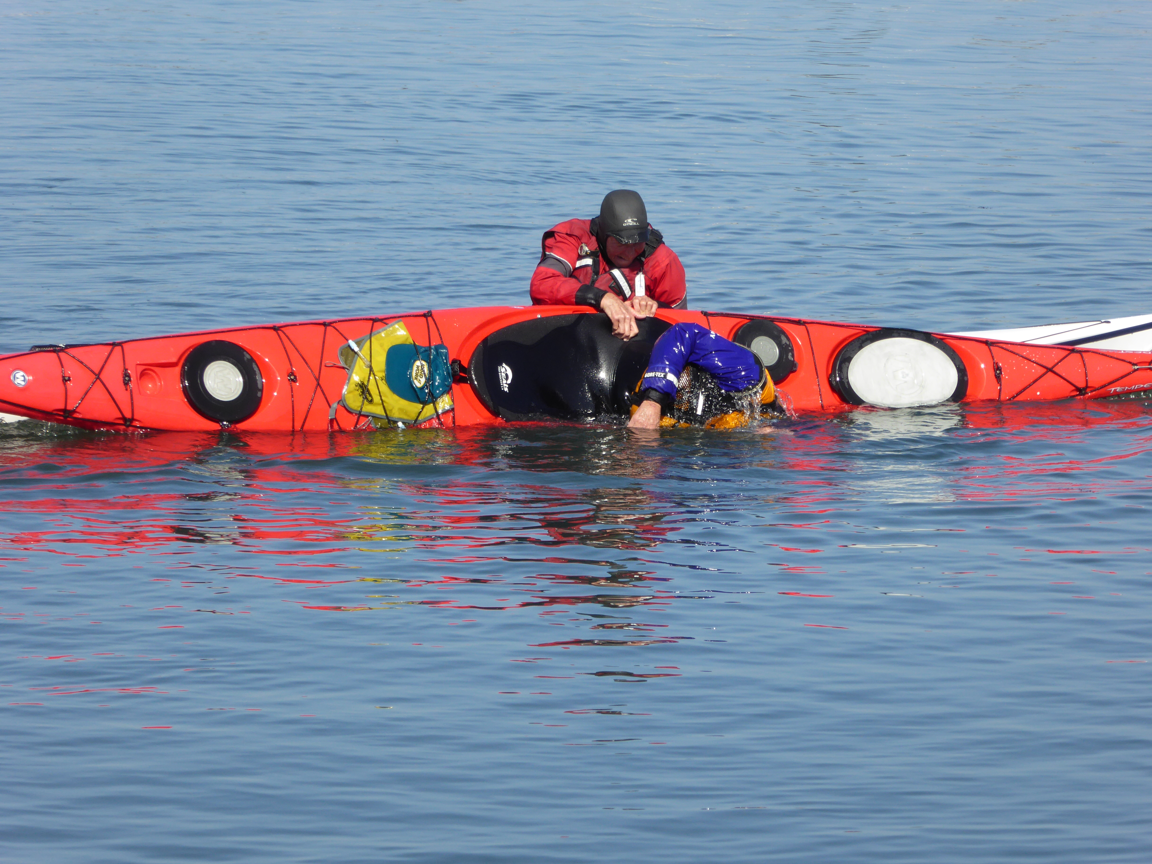
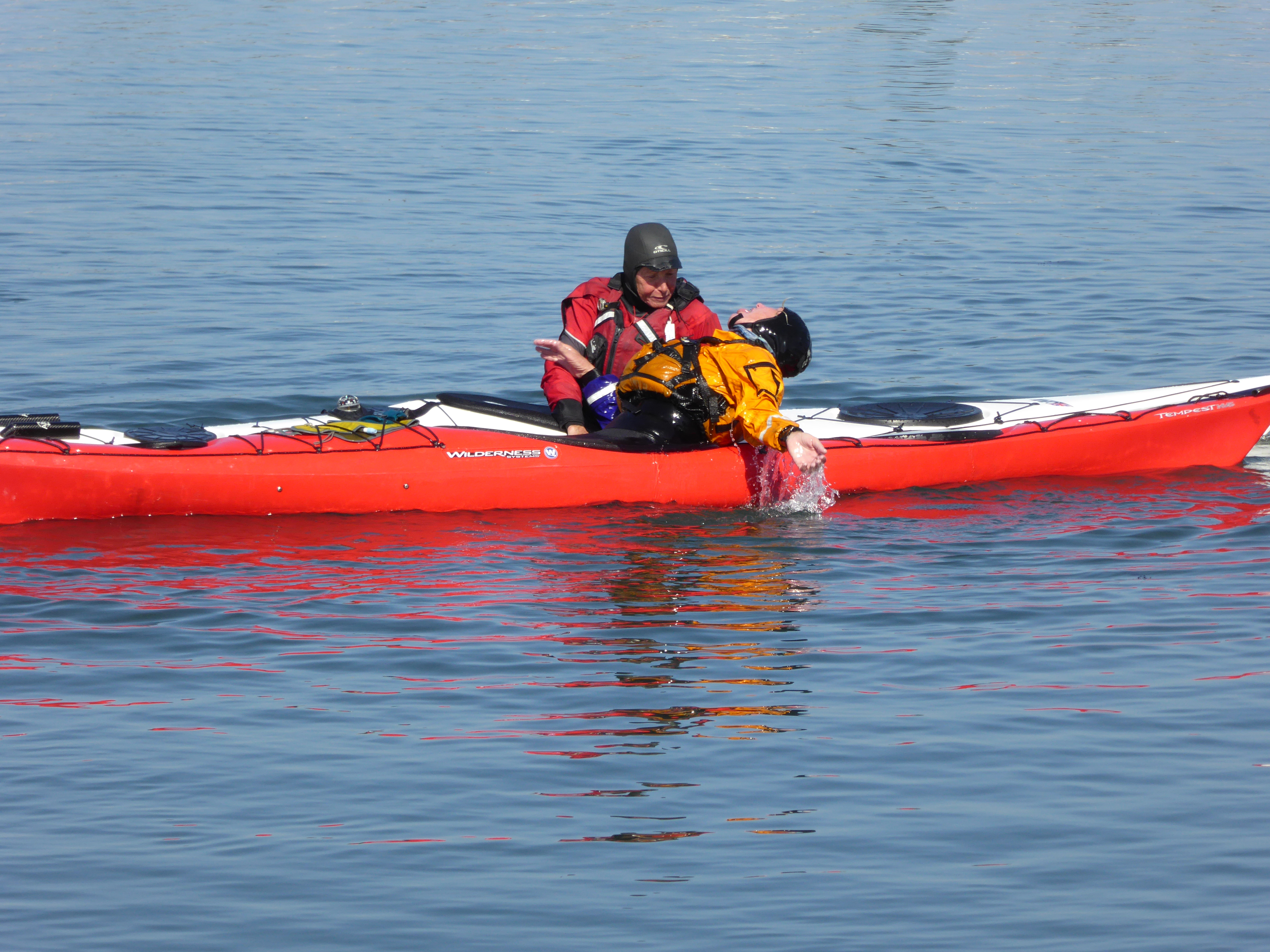
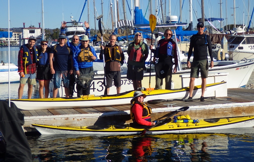
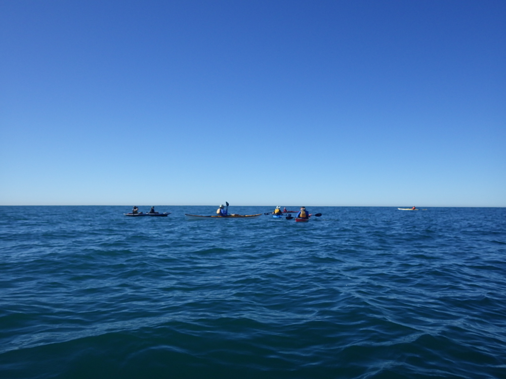
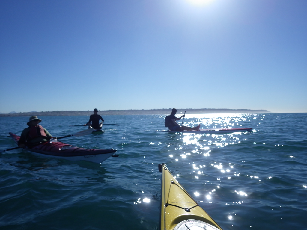
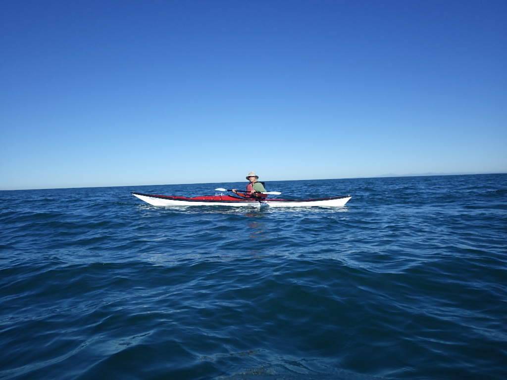
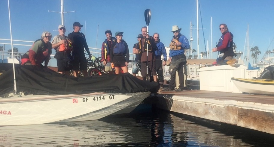
Click on these photos from last year to enlarge
Directions to Liberty Station Launch Ramp: From I-5 south and I-8 west, take the Rosecrans exit (which is Hwy 209 on the map). Take Rosecrans to Lytton Street (at the Sail Ho golf course) and turn left. Take the first right, into Liberty Station. Follow the one way street to Sims Road and turn left. Turn left on Historic Decatur, a one-way street which takes you back toward the entrance. You will immediately see another street named Perry on your left. Turn into the parking lot on your right at that juncture. The ramp is at the east end of that lot (LS Launch on the map). There are restrooms just south in the park (follow the sidewalk along the canal/park).
Liberty Station Launch Site
PLEASE NOTE: The announcer of this event is not the leader of such, merely a “coordinator”.
Disclaimer: We will have experienced paddlers on this trip, but they will not be responsible for telling you what is or is not safe for you to do. We watch out for one another and assist one another, but all individuals are responsible for, and manage their own safety. This responsibility includes assessing your gear, skill level, and physical conditioning relative to conditions and location, as well as making decisions about what you will or will not do. Participants acknowledge that kayaking on the open sea or bay is inherently dangerous and can lead to physical injury including death as well as property damage. Participants, on their behalf and on behalf of their heirs and assignees, agree to hold the announcers and other participants blameless in the event of such injury, damage or death. Please join us if you want to mildly stretch your capabilities, but please stay home if you would be wildly stretching them. Participants should have bracing skills, be able to self-rescue and assist in the rescue of others. They should be able to launch and/or land along the rocky bay front.


![CPat18[1]](http://www.sdkc.org/wp-content/uploads/2016/01/CPat181.jpg)